|
CALM SITE U11B |
IMNAVAIT CREEK WET |
|
Site code |
U11B |
|
Site name |
Imnavait
Creek WET |
|
CAPS I Metadata form |
NA |
|
CAPS II Metadata form |
NA |
|
Responsible for data submission |
Nikolay
Shiklomanov |
|
Email Address |
shiklom”-at-“gwu.edu |
|
Institution/Organization |
GWU |
|
Location description |
Arctic Alaska |
|
Location Lat. |
68.611 N |
|
Location Lon. |
149.315 W |
|
Elevation avg. (m) |
917 |
|
Methods Grid |
100 |
|
Methods Other |
Air temperature, Soil surface temperature |
|
Landscape Description |
Glaciated
foothills |
|
Vegetation /Classification |
Wet acidic
tundra |
|
Soils (or Material) |
Histic Pergelic Cryaquepts (54%), P. Cryofibrists
(35%), P. Cryaquepts (10%). |
|
Thaw depth measurements (year started)
|
1995 |
|
Air temp. measurements (year started) |
1995 |
|
Snow cover measurements (year started) |
NA |
|
soil
temp. measurements (year started) |
1995 (soil surface only) |
|
soil moisture measurements (year started) |
NA |
|
general description of soil moisture (dry, moist, wet,
saturated) |
Wet to
saturated |
|
soil texture: if non organic describe texture, if organic
indicate thickness of organic layer (cm) |
Organic
layer thickness: 34 + 1.7 cm. Soil texture - silt |
DESCRIPTION OF AREA CONTAINING SITE:
U11B 1-ha grid located within the
lower part of U11A 1 km grid. Site description: Gentle
(1 degree) north facing basin deposit with strangmoor,
wetland hummocks, palsas; wet acidic tundra.
Vegetation communities: (1) Raised microsites in basin
including hummocks and palsas: Wet Carex rotundata, C. rariflora, Betula nana, Salix fuscescens, Sphagnum lenense graminoid, dwarf-shrub tundra. (2) Footslope
of west-facing hill: Moist Betula nana, Eriophorum vaginatum, Sphagnum
spp. dwarf-shrub, tussock-graminoid tundra. (3) Lower
microsites in basin including interhummock areas with
standing water: Wet Eriophorum scheuchzeri,
Carex rotundata, Sphagnum orientale, Drepanocladus revolvens graminoid tundra. (4)
Marginal area of the basin with few shrubs: Wet Carex
rotundata, Salix fuscescens,
Sphagnum lenense graminoid,
moss tundra. (5) Beaded pond of Imnavait Creek:
Aquatic Sparganium hyperboreum,
Hippuris vulgaris forb marsh. Cover of top 5 species:
Sphagnum lenense (13%), Carex
rotundata (8%), Sphagnum warnstorfii
(7%), Betula nana (6%), Sphagnum
orientale (6%).
Mean vegetation height: 2.2 +/- 3.2
cm
Mean live moss layer thickness: 2.0
+/- 1.0 cm
Organic layer thickness: 34 + 1.7
cm.
(Walker and Bockheim,
1995)
SOIL DESCRIPTION:
(predominant texture, i.e., ‘sand’, ‘gravel’,
‘peat’, etc.): Histic Pergelic
Cryaquepts (54%), P. Cryofibrists
(35%), P. Cryaquepts (10%)
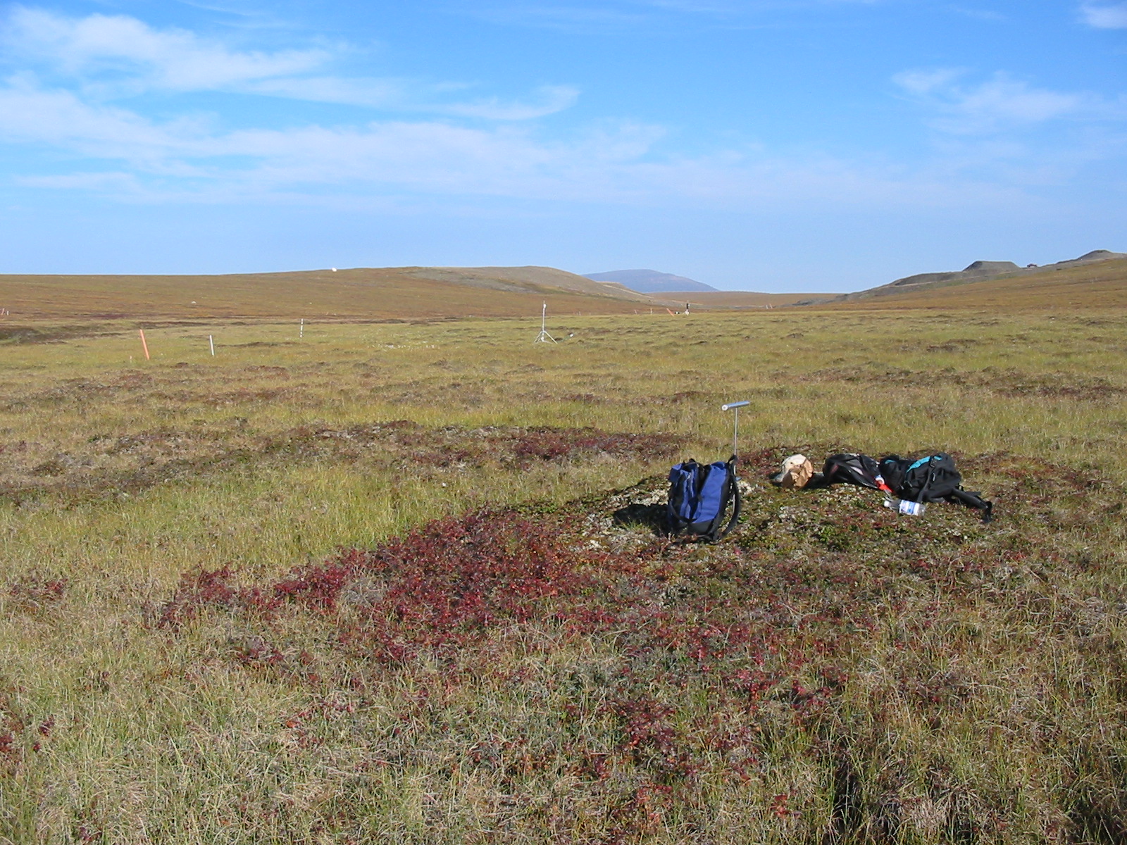
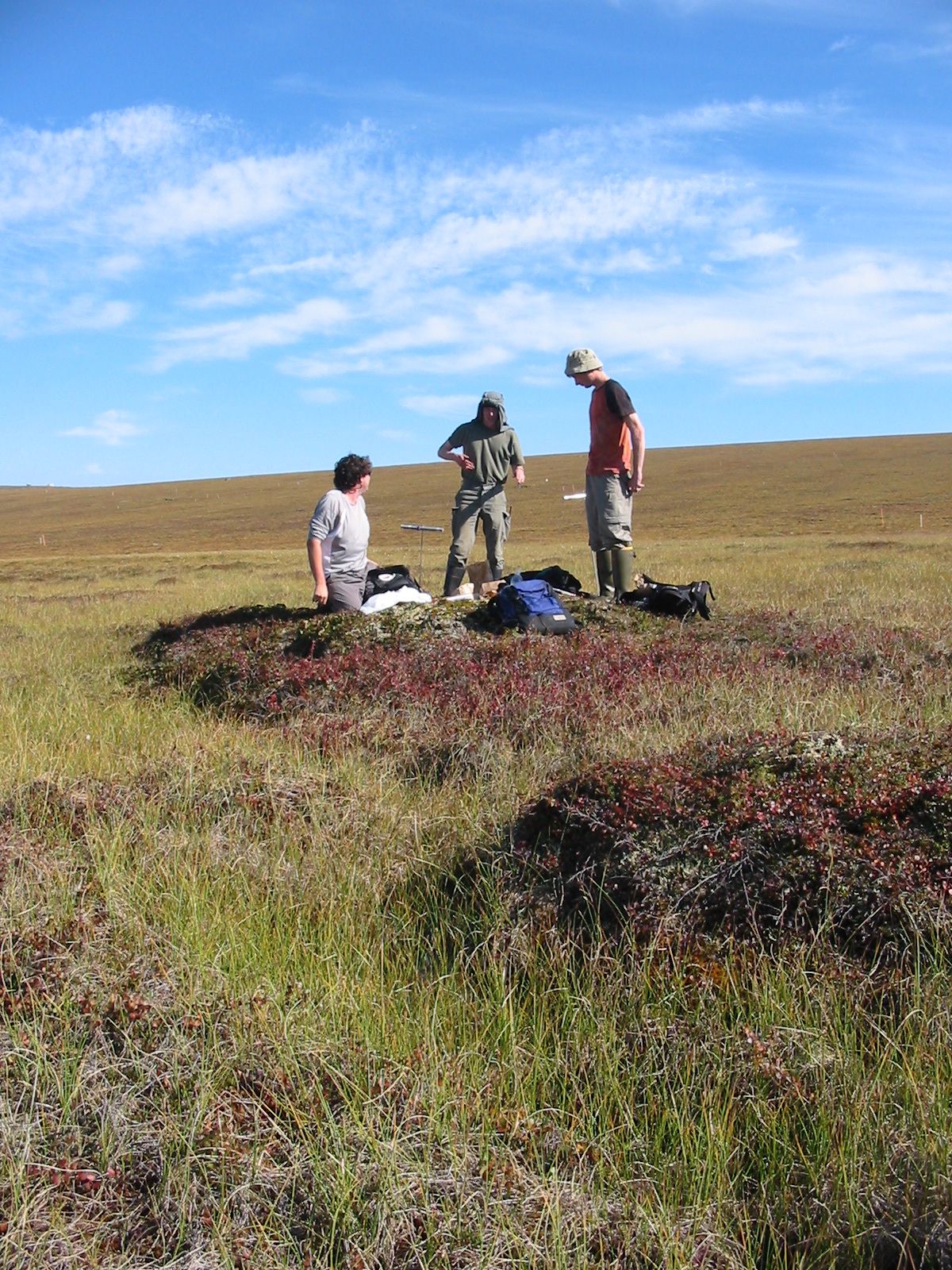
SAMPLING DESIGN AND METHOD:
Beginning in 1995, the active layer
has been probed at least annually at the site. The procedure involves pushing a
metal rod, calibrated in cm, to the point of refusal, interpreted in most cases
to be the frost table. Thaw depth measurements at each site were obtained by
probing at 5 m intervals along the plot’s two
perpendicular and one diagonal transect, resulting in 71 points per plot
per probing date.
In 1995
the site was instrumented with several OnsetTM
portable data loggers connected to probe-type thermistors. Each
logger/thermistor system has an effective temperature range of -50oC
to +33oC and resolution of approximately 0.32oC. At each
site, one thermistor was placed in a radiation shield approximately 2 m above
the ground surface, and nine loggers were placed at the interface between
mineral soil and organic material in various microtopographic
positions within the site. Temperature measurements were collected at, 1 hr,
and 2 hr intervals depending on season, and year. Details on methodology are provided in Klene et. al 2001.
REFERENCES:
Walker, D. A., and J. G. Bockheim, Site selection for the portable flux towers,
ARCSS/LAII/Flux Study, 13–16 June 1995, Summary of field activities,
Land-Atmos.-Ice Interact. Sci. Manage. Off., Geophys. Inst.,Univ. of Alaska-Fairbanks, 1995.
Shiklomanov, N.I. and F.E. Nelson. 2003 Climatic variability in the Kuparuk region, north-central Alaska: optimizating
spatial and temporal interpolation in a sparse
observation network. Arctic,
56: 136-146.
Shiklomanov, N.I. and F.E. Nelson. 2003 Statistical representation of
landscape-specific active-layer variability. In Phillips, M., Springman,
S. M., and Arenson, L. U. (eds.), Proceedings of
the Eighth International Conference on Permafrost, vol. 2. Lisse: A.A. Balkema, 1039-1044.
Walker
D.A., Jia G.J., Epstein H.E., Raynolds
M.K., Chapin III F.S., Copass C., Hinzman
L.D., Kane D., Knudson J.A., Maier H., Michaelson
G.J., Nelson F.E., Ping C.L., Shiklomanov N.I.,
Romanovsky V.E., Shur
Y. 2003 Vegetation-soil-thaw-depth
relationships along a Low Arctic bioclimatic gradient, Alaska: Synthesis of
information from the Atlas studies. Permafrost and Periglacial
Processes, 14: 103-123.
Shiklomanov
N. I. and F. E. Nelson, F. E., 2002.
Active-layer mapping at regional scales: a 13-year spatial time series for the Kuparuk region, north-central Alaska. Permafrost and Periglacial Processes, 13:
219-230.
Klene A.E., Nelson F.E., and N.I. Shiklomanov.
2001 The n-factor as a tool
in geocryological mapping: seasonal thaw in the Kuparuk River Basin, Alaska. Physical
Geography, 22(6): 449-466.
Klene A.E., Nelson F.E., Shiklomanov
N.I., and K.M. Hinkel.
2001 The n-factor in natural
landscapes: Variability of air and soil-surface temperatures, Kuparuk River basin, Alaska. Arctic,
Antarctic and Alpine Research, 33(2): 140-148.
Nelson, F.E., Shiklomanov, N.I., and
G.R. Mueller. Variability of active-layer thickness at multiple spatial scales,
north-central Alaska, USA. 1999 Arctic, Antarctic, and Alpine Research, 31(2): 179-186.
Shiklomanov, N.I. and F.E. Nelson. Analytic
representation of the active layer thickness field, Kuparuk
River basin, Alaska. 1999 Ecological
Modelling, 123: 105-125.
Bockheim, J.G., Walker,
D.A., Everett, L.R., Nelson, F.E. and N.I. Shiklomanov. 1998 . Soils and cryoturbation
in moist nonacidic and acidic tundra in the Kuparuk
River basin, Arctic Alaska, USA. Arctic
and Alpine Research, 30(2): 166-174.
Nelson, F.E., Hinkel, K.M.,
Shiklomanov, N.I., Mueller, G.R., Miller, L.L., and D.A.
Walker.
Active-layer thickness in north central Alaska: systematic sampling, scale, and
spatial autocorrelation. 1998
Journal of Geophysical
Research-Atmospheres, 103(D22): 28963-28973.
Nelson, F.E., Outcalt, S.I.,
Brown, J., Shiklomanov, N.I., and K.M. Hinkel.
Spatial and temporal attributes of the active-layer thickness record, Barrow,
Alaska, USA, 1998 Proceedings of the Seventh International
Conference on Permafrost. Centre de etudes nordiques
de l'Universite Laval, Laval, Quebec, Canada,
Yellowknife, NWT, Canada, pp. 797-802
Walker,
D.A., Auerbach, N.A., Bockheim,
J.G., Chapin, F.S., Eugster, W., King, J.Y.,
McFadden, J.P., Michaelson, G.J., Nelson, F.E., Oechel, W.C., Ping, C.L., Reeburg,
W.S., Regli, S., Shiklomanov, N.I., and G.L.
Vourlitis.1998 Energy and trace-gas fluxes across a soil pH boundary in the
arctic. Nature, 394(6692): 469-472.
Nelson
F.E., Shiklomanov, N.I., Mueller G.R., Hinkel K.M., Walker D.A., and J.G.
Bockheim.1997 Estimating active-layer thickness over a large region: Kuparuk River basin, Alaska, USA. Arctic and Alpine Research, 29(4): 167-378.
Additional
climate snow and hydrologic data are also available at http://www.uaf.edu/water/projects/NorthSlope/imnavait/imnavait.html