|
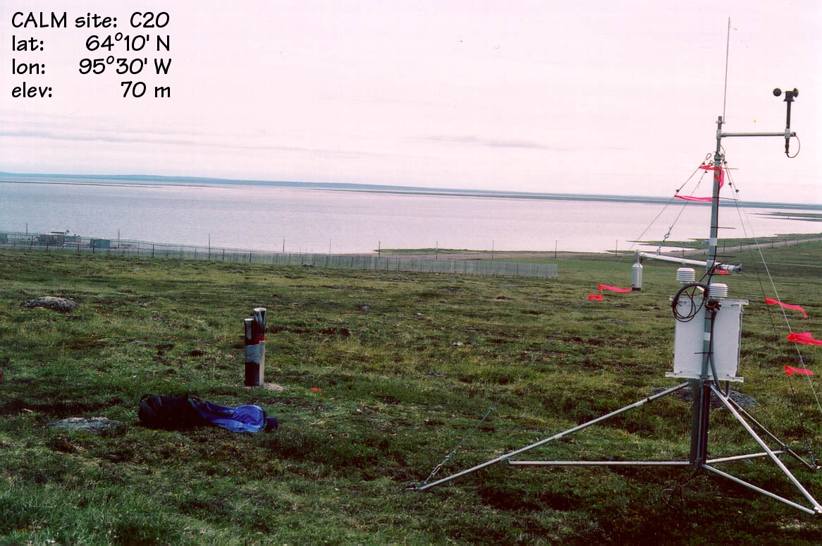
CALM SITE C20 |
BAKER LAKE |
|
Site code |
C20 |
|
Site name |
Baker Lake |
|
CAPS I Metadata form |
GGD342 |
|
CAPS II Metadata form |
GGD313C_20 |
|
Responsible for data submission |
Sharon Smith |
|
Email Address |
SSmith@NRCan.gc.ca |
|
Institution/Organization |
Geological Survey of Canada, Ottawa |
|
Location description |
Hudson Bay Region |
|
Location Lat. |
64 deg. 20 min. N |
|
Location Lon. |
96 deg. 3 min. W |
|
Elevation avg. (m) |
~50m |
|
Name code |
[25] |
|
Methods Grid |
|
|
Methods Other |
T/B3 |
|
Years of record (a) |
6 |
|
Min Thaw (cm)(b) |
120 |
|
Max Thaw (cm)(b) |
193 |
|
Thawing Degree Days (c) |
838 (d) |
|
Landscape Description |
Raised degraded beach ridges over granite bedrock |
|
Vegetation /Classification |
Heath lichen, darf shrub |
|
Soils (or Material) |
Pergelic Cryochrept (1) |
|
1990 |
|
|
1991 |
|
|
1992 |
|
|
1993 |
|
|
1994 |
|
|
1995 |
|
|
1996 |
|
|
1997 |
120 |
|
1998 |
170 |
|
1999 |
174 |
|
2000 |
189 |
|
2001 |
193 |
|
2002 |
TBA |
|
soil temp. measurements (year started) |
1997 |
|
soil moisture measurements (year started) |
No |
|
general description of soil moisture (dry, moist, wet,
saturated) |
NA |
|
soil texture: if non organic describe texture, if organic
indicate thicknesss of organic layer (cm) |
Coarse gravels and sands (0 Ð 15cm peat layer on top) |
|
mean annual air temp* |
-11.8 C |
|
mean May air temp |
-5.8 C |
|
mean June air temp |
4.9 C |
|
mean July air temp |
11.4 C |
|
mean August air temp |
9.5 C |
|
mean September air temp |
2.5 C |
|
total annual precip (mm) |
270.4 |
|
number of snow covered days |
251 |
|
surface area of measurement (ha) |
NA, point measurements |
|
mean altitude (m) |
~50m |
|
min altitude |
NA |
|
max altitude (m) |
NA |
|
type of major disturbance |
none |
|
date of major disturbance |
NA |
|
* based on 1971-2000 normal for Baker Lake weather station |
|
Active-Layer Thickness is inferred
from ground temperature profile measurements. ALT values are presented in summary
table.
Site metadata is provided in C20_meta.doc
List of available data
Data Access
Only Summary data is available and presented in Summary
table