|
CALM SITE U7A |
BETTY PINGO |
|
Site code |
U7A |
|
Site name |
Betty Pingo |
|
CAPS I Metadata form |
GGD359 |
|
CAPS II Metadata form |
GGD313U_7 |
|
Responsible for data submission |
Nikolay
Shiklomanov |
|
Email Address |
shiklom”-at-“gwu.edu |
|
Institution/Organization |
GWU |
|
Location description |
Arctic Alaska |
|
Location Lat. |
70 deg. 17 min. N |
|
Location Lon. |
148 deg. 52 min. W |
|
Elevation avg. (m) |
12 |
|
Methods Grid |
1000 |
|
Methods Other |
Air Temperature, Soil temperature, Soil Moisture |
|
Landscape Description |
Outer coastal plain, drained lake basins |
|
Vegetation /Classification |
Graminoid-moss tundra and prostrate-dwarf-shrub,
moss tundra (wet and moist nonacidic) |
|
Soils (or Material) |
Typic Molliorthel, Typic Historthel, Typic Aquorthel |
|
Thaw depth measurements (year started)
|
1995 |
|
Air temp. measurements (year started) |
1995 |
|
Snow cover measurements (year started) |
NA |
|
soil
temp. measurements (year started) |
2005 |
|
soil moisture measurements (year started) |
2005 |
|
general description of soil moisture (dry, moist,
wet, saturated) |
Very wet to
saturated (Vol MC 50-90 %) |
|
soil texture: if non organic describe texture, if
organic indicate thickness of organic layer (cm) |
Organic Layer
thikness:22 (cm); mineral texture -- silty loam
/silt/peat |
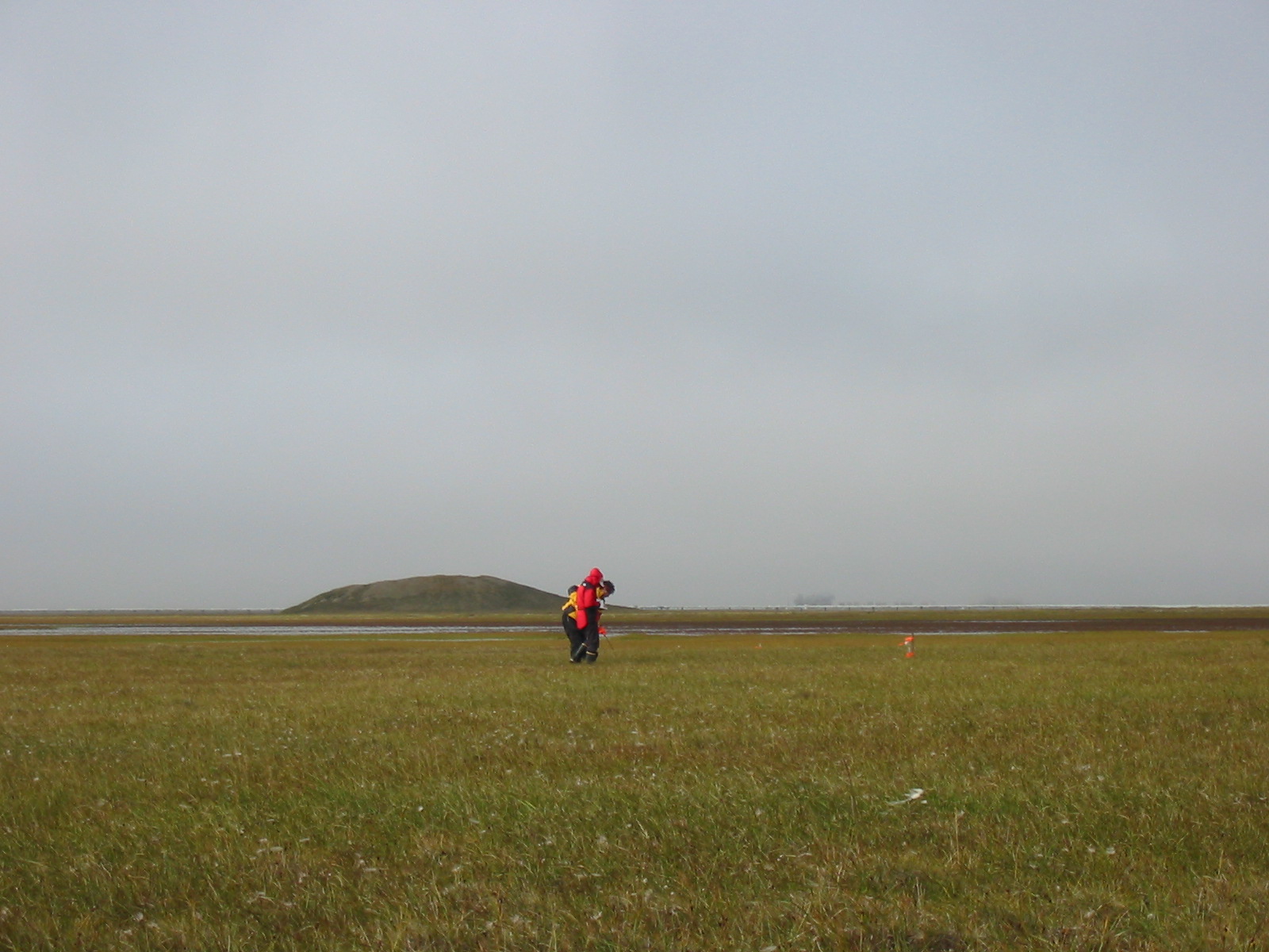
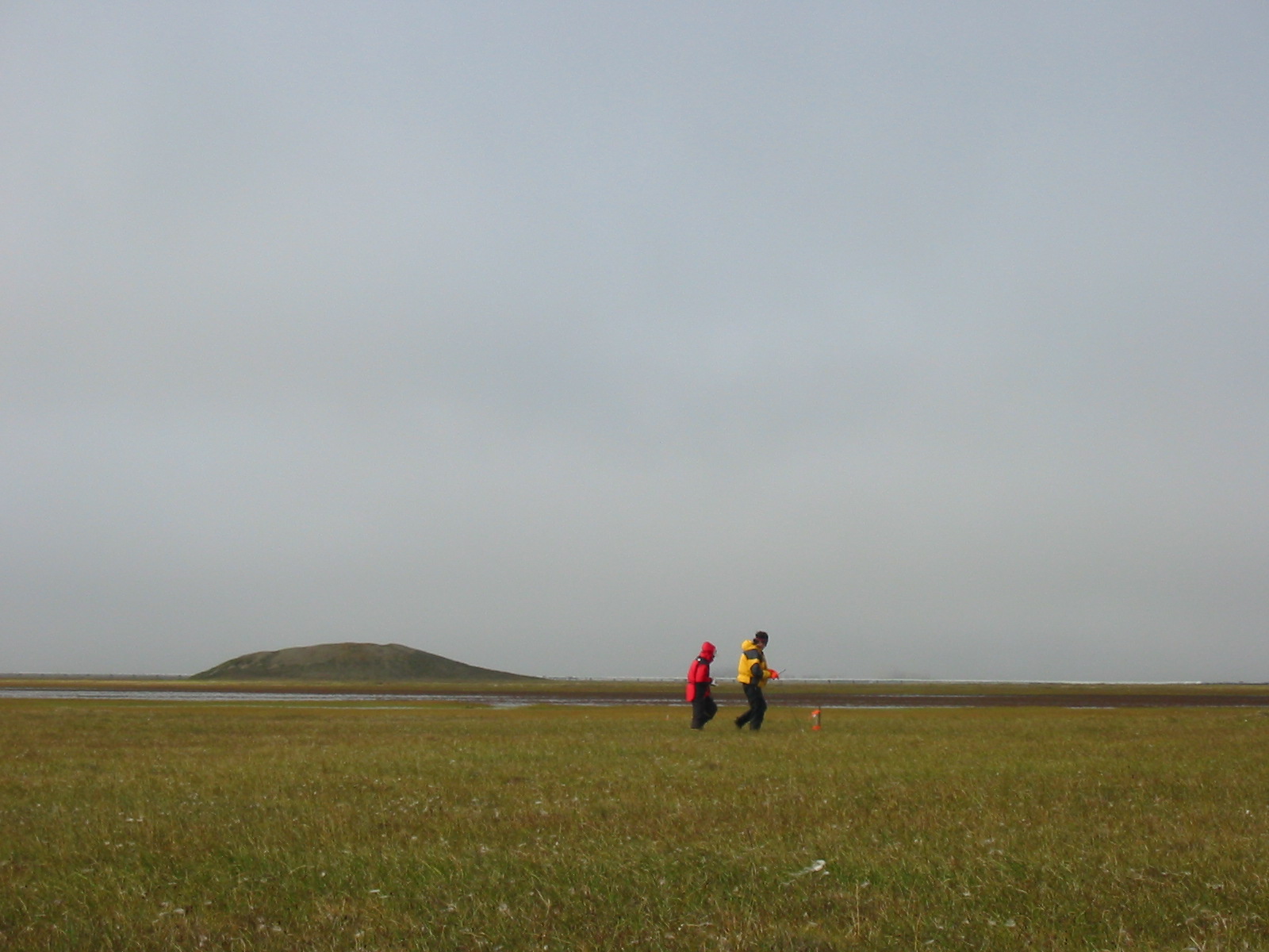
DESCRIPTION OF AREA CONTAINING
SITE:
Batty Pingo
grid is located on the outer Arctic Coastal Plain within the Prudhoe Bay oil field.
Contrasts between polygonized
‘‘uplands’’ and drained thaw-lake basins constitute the
primary relief at these sites, and lakes and ponds are ubiquitous elements of
the landscape. Landcover units include moist
nonacidic tundra and wet tundra vegetation, and Typic
Aquorthel soils developed in alluvium (Walker and Bockheim, 1995;Hinkel &
Nelson, 2003).
SOIL DESCRIPTION:
(predominant texture, i.e., ‘sand’, ‘gravel’,
‘peat’, etc.): Glacic Hystoturbel,
Typic Aquiturbels
SAMPLING DESIGN AND METHOD:
1-sq km grid consists of a square
array of surveyed permanent stakes separated by 100 m, yielding an 11 ×
11 array of sampling nodes on each grid. Thaw depth and snow sampling was
conducted twice by manual probing at each stake. The two values for each sampling
point are averaged, yielding a maximum of 121 data points per grid per probing
date. The active layer was not measured at locations where grid points
intersect rocks or deep water.
This soil climate station was established in June of 1996 and is located
on the British Petroleum (BP) Prudhoe Bay oil field near Betty pingo. The elevation is about 12 m (40 ft). This station
monitors air temperature, soil temperature at various depths to a maximum of
120 cm, and soil water content at 10, 25, and 40 cm depths. Measurements are
made at 20-minute intervals and averaged and recorded every hour.
REFERENCES:
Walker, D. A., and J. G. Bockheim, Site selection for the portable flux towers,
ARCSS/LAII/Flux Study, 13–16 June 1995, Summary of field activities, Land-Atmos.-Ice
Interact. Sci. Manage. Off., Geophys.
Inst.,Univ. of
Alaska-Fairbanks, 1995.
Hinkel, K.M.
& Nelson, F.E. 2003. Spatial
and temporal patterns of active layer thickness at Circumpolar Active Layer
Monitoring (CALM) sites in northern Alaska, 1995-2000. Journal of Geophysical Research, Vol.108, No. D2, 8168.
.
Shiklomanov, N.I. and F.E. Nelson. 2003 Climatic variability in the Kuparuk region, north-central Alaska: optimizating
spatial and temporal interpolation in a sparse
observation network. Arctic,
56: 136-146.
Shiklomanov,
N.I. and F.E. Nelson. 2003 Statistical representation of
landscape-specific active-layer variability. In Phillips, M., Springman,
S. M., and Arenson, L. U. (eds.), Proceedings of the
Eighth International Conference on Permafrost, vol. 2. Lisse: A.A. Balkema, 1039-1044.
Walker D.A., Jia
G.J., Epstein H.E., Raynolds M.K., Chapin III F.S., Copass C., Hinzman L.D., Kane D.,
Knudson J.A., Maier H., Michaelson G.J., Nelson F.E.,
Ping C.L., Shiklomanov N.I., Romanovsky
V.E., Shur Y.
2003 Vegetation-soil-thaw-depth relationships along a Low Arctic
bioclimatic gradient, Alaska: Synthesis of information from the Atlas studies. Permafrost and Periglacial Processes, 14: 103-123.
Shiklomanov N.
I. and F. E. Nelson, F. E., 2002. Active-layer
mapping at regional scales: a 13-year spatial time series for the Kuparuk region, north-central Alaska. Permafrost and Periglacial Processes, 13:
219-230.
Klene A.E., Nelson F.E.,
and N.I. Shiklomanov. 2001 The n-factor as a tool in geocryological mapping: seasonal thaw in the Kuparuk River Basin, Alaska. Physical
Geography, 22(6): 449-466.
Klene A.E., Nelson F.E.,
Shiklomanov N.I., and K.M. Hinkel. 2001 The n-factor in
natural landscapes: Variability of air and soil-surface temperatures, Kuparuk River basin, Alaska. Arctic,
Antarctic and Alpine Research, 33(2): 140-148.
Nelson, F.E., Shiklomanov,
N.I., and G.R. Mueller. Variability of active-layer thickness at multiple spatial scales,
north-central Alaska, USA. 1999 Arctic, Antarctic, and Alpine Research, 31(2): 179-186.
Shiklomanov, N.I. and F.E.
Nelson. Analytic representation of the active layer thickness field, Kuparuk River basin, Alaska. 1999 Ecological Modelling,
123: 105-125.
Bockheim, J.G., Walker, D.A.,
Everett, L.R., Nelson, F.E. and N.I. Shiklomanov. 1998 . Soils and
cryoturbation in moist nonacidic and acidic tundra in the Kuparuk
River basin, Arctic Alaska, USA. Arctic
and Alpine Research, 30(2): 166-174.
Nelson, F.E., Hinkel, K.M.,
Shiklomanov, N.I., Mueller, G.R., Miller, L.L., and D.A.
Walker. Active-layer thickness in north
central Alaska: systematic sampling, scale, and spatial autocorrelation.
1998 Journal of Geophysical Research-Atmospheres,
103(D22): 28963-28973.
Nelson, F.E., Outcalt, S.I., Brown, J., Shiklomanov, N.I., and K.M.
Hinkel. Spatial and temporal attributes of the
active-layer thickness record, Barrow, Alaska, USA, 1998 Proceedings of the Seventh International Conference on Permafrost.
Centre de etudes nordiques de l'Universite
Laval, Laval, Quebec, Canada, Yellowknife, NWT, Canada, pp. 797-802
Walker, D.A., Auerbach,
N.A., Bockheim, J.G., Chapin, F.S., Eugster, W., King, J.Y., McFadden, J.P., Michaelson, G.J., Nelson, F.E., Oechel,
W.C., Ping, C.L., Reeburg, W.S., Regli,
S., Shiklomanov, N.I., and G.L. Vourlitis.1998 Energy and trace-gas fluxes
across a soil pH boundary in the arctic. Nature,
394(6692): 469-472.
Nelson F.E., Shiklomanov, N.I., Mueller
G.R., Hinkel K.M., Walker D.A., and J.G. Bockheim.1997 Estimating active-layer
thickness over a large region: Kuparuk River basin,
Alaska, USA. Arctic and Alpine Research,
29(4): 167-378.
Soil temperature and soil moisture metadata and data are also available
at http://soils.usda.gov/survey/scan/alaska/BettyPingo/
Additional
Climate data are also available at http://www.uaf.edu/water/projects/NorthSlope/coastal_plain/betty/betty.html