CALM SITEHess Creek |
|
|
Site Code |
U49 |
|
Site Name |
Hess Creek |
|
CAPS 1 Metadata form |
|
|
CAPS 2 Metadata form |
|
|
Responsible for data submission |
Edda Mutter |
|
Email Address |
emutter@yritwc.org |
|
Institution/Organization |
YRITWC |
|
Location Description |
Alaska Subarctic |
|
Location Lat. |
N65.65724 |
|
Location Long. |
W149.08443 |
|
Elevation avg. (m) |
218 |
|
Methods Grid |
100 |
|
Methods Other |
Soil moisture, soil temp., air temp |
|
Landscape Description |
Boreal black spruce forest, lowland |
|
Vegetation/Classification |
Large tussocks, sparse black spruce, low bush blueberries |
|
Soils (or Material) |
Nutrient rich peat |
|
Thaw depth measurements (year started) |
2009 |
|
Air temp. measurements (year started) |
2009 |
|
Snow Cover measurements (year started) |
N/A |
|
Soil temp. measurements (start year) |
2009 |
|
Soil moisture measurements (start year) |
2009 |
|
General description of soil moisture |
moist |
|
Soil texture: if non organic describe texture, if organic indicate thickness of organic layer (cm) |
Organic: ~40cm |
DESCRIPTION OF AREA
CONTAINING SITE:
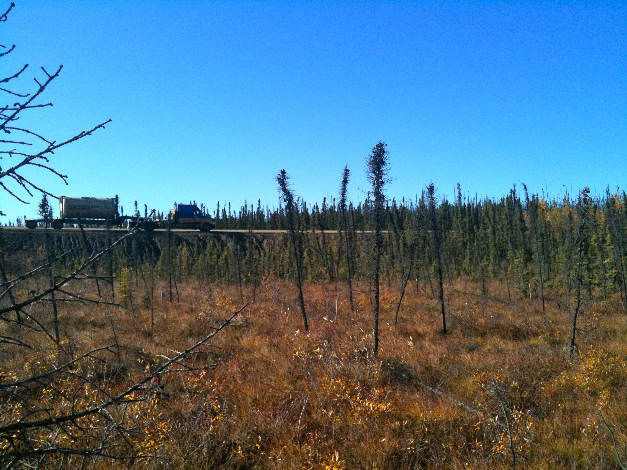
The Hess Creek grid site is located on the south side of the haul road approx 1 mile SE of the Hess Creek Bridge. The 100m2 grid is located in an area of sparse black spruce forest, large tussocks, grasses, and low-bush blueberries. The 100mx100m grid, established in 2009, is marked with survey stakes at 10m intervals. The grid center (N61.88, W162.06) contains continuous soil temperature & soil moisture sensors at ‘above permafrost’ & ‘just below surface’ levels. An air temperature sensor also records on a 30 min continuous cycle. The grid was established in 2009 through a cooperative agreement with Yukon River Inter-Tribal Watershed Council & the U.S. Geological Survey.
SOIL DESCRIPTION:
The soil is poorly drained non-rocky organic nutrient rich peat in an area of flat bog, extremely hummocky.
SAMPLING DESIGN AND
METHOD:
The grid consisted of 100 survey stakes at 10-meter intervals, creating a 100mx100m square grid with a maximum of 100 data points. Active Layer measurements were taken manually every 10m. The measurements were taken at the lowest surface level within about 0.3m of the designated point. The "surface level" was determined to be the top of the low-lying vegetation (i.e. moss, lichen, low-bush berries).
The HOBO micro station was established in early September 2009 and is located at grid center. The station monitors soil temperature & soil moisture. A ~30cm2 hole was dug down to the permafrost layer approx 50 cm. One set of soil moisture and soil temperature sensors were placed just above the permafrost layer (48cm) and one set just below surface level. Soil samples were cut from each level (2x2in cubes) to be analyzed for soil moisture content.
The HOBO pro v2 temp/ext temp sensor was installed, recording air temperature, near the grid center about one meter off the ground surface. The Hobo data logger is set to store data on 30min intervals for up to 428 days.
GPS points were taken at the four corners of the grid, as well as the center point where the sensors were located. Site elevation is 218m, recorded at grid center.
REFERENCES: