|
CALM SITE U28 |
KOUGAROK 1km GRID |
|
Site code |
U28 |
|
Site name |
KOUGAROK |
|
CAPS I Metadata form |
NA |
|
CAPS II Metadata form |
NA |
|
Responsible for data submission |
N. I. Shiklomanov |
|
Email Address |
Shiklom”-at-“gwu.edu |
|
Institution/Organization |
GWU, Washington DC |
|
Location description |
Seward Peninsula |
|
Location Lat. |
65o 27,338'
N |
|
Location Lon. |
164o
37,622' W |
|
Elevation avg. (m) |
250 |
|
Methods Grid |
1000 |
|
Methods Other |
Air Temperature, Soil temperature, Soil Moisture |
|
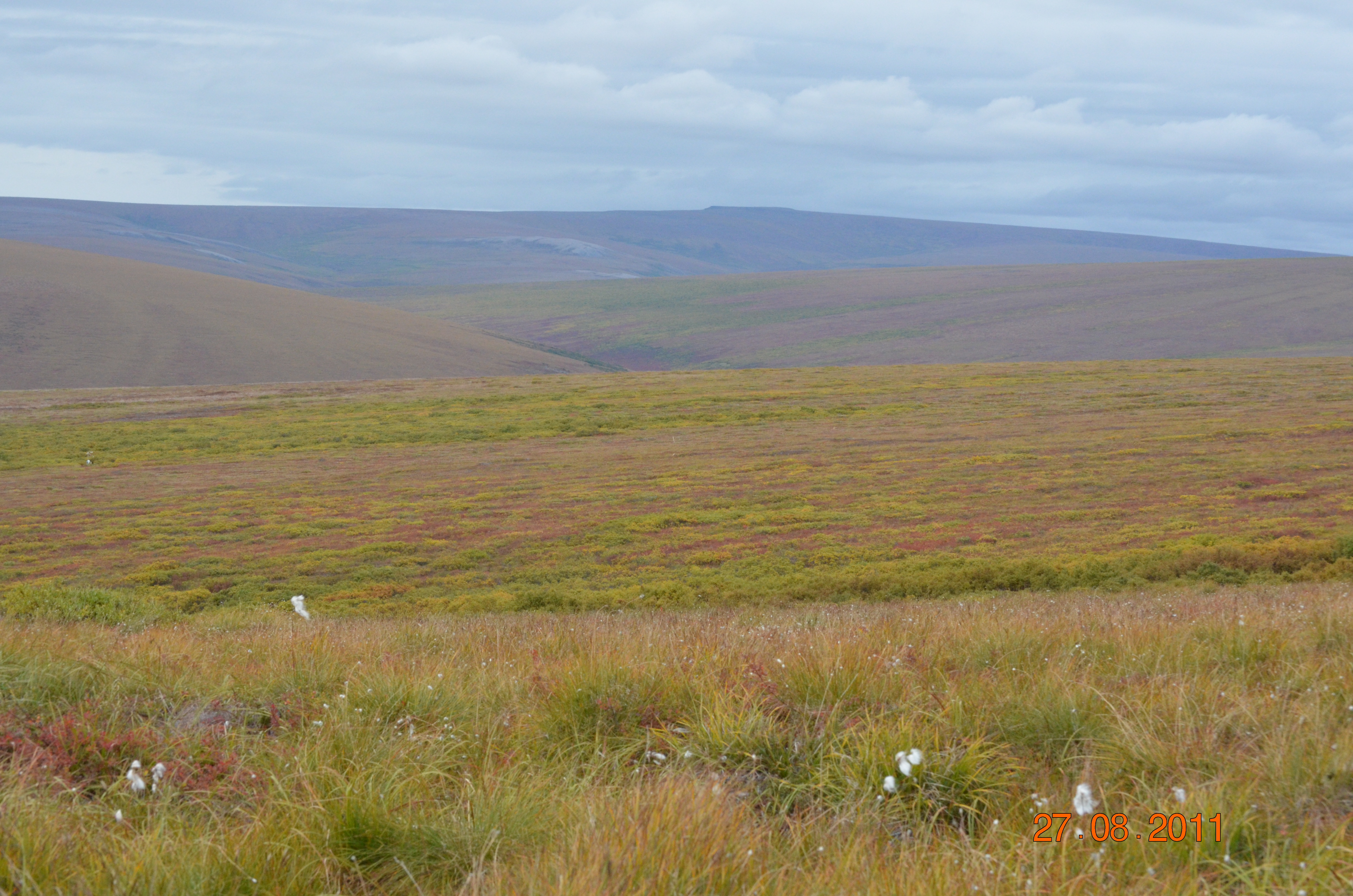
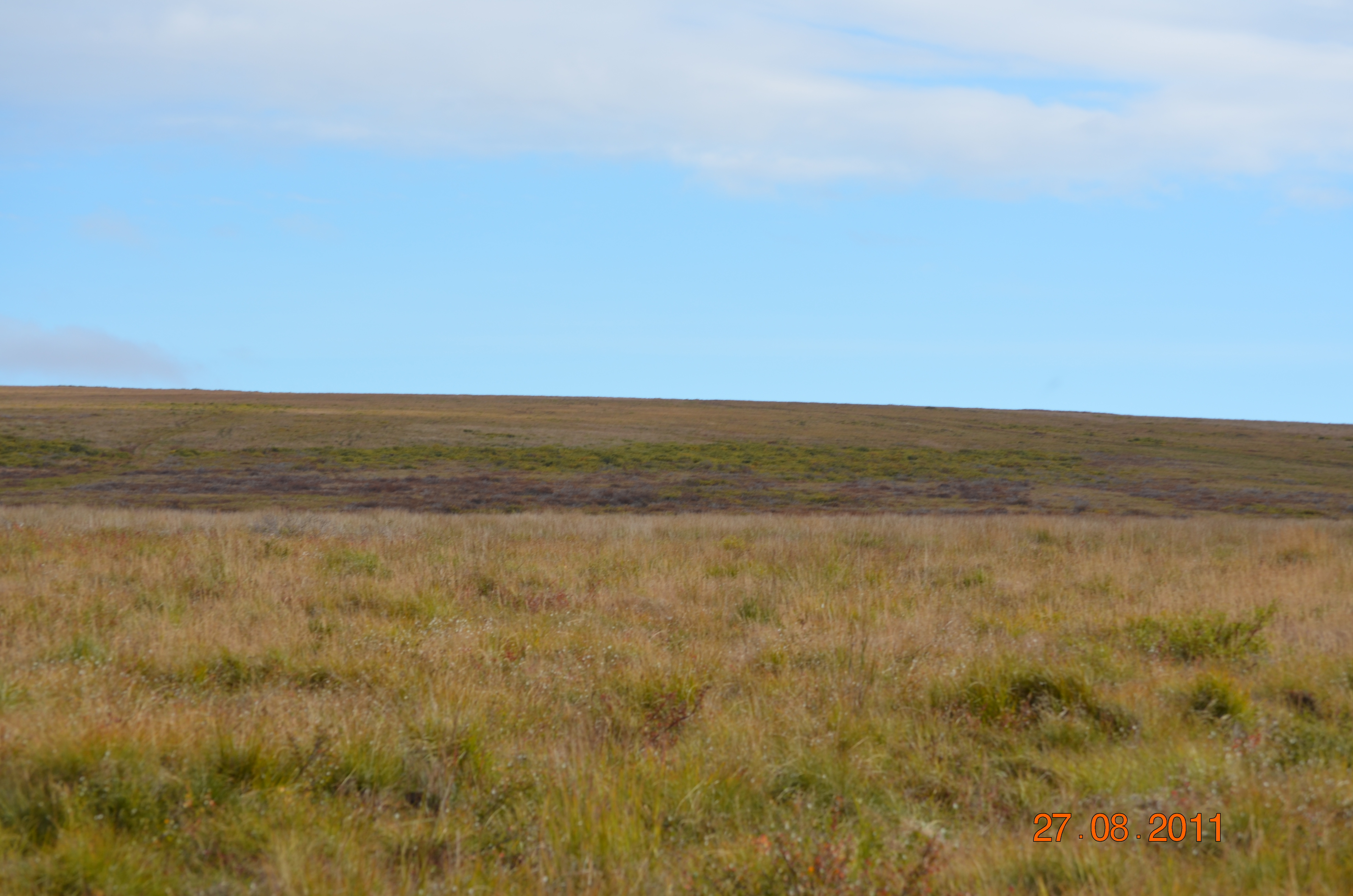
Landscape Description |
Glaciated foothills |
|
Vegetation /Classification |
about 70%
tussock tundra w/moss, about 20% shrubs, mostly on south facing slope and
creek bottom, usually low and fairly sparse except creek bottom |
|
Soils (or Material) |
|
|
Thaw depth measurements (year started)
|
2000 |
|
Air temp. measurements (year started) |
2000 |
|
Snow cover measurements (year started) |
NA |
|
soil
temp. measurements (year started) |
2000 |
|
soil moisture measurements (year started) |
2000 |
|
general description of soil moisture (dry, moist, wet,
saturated) |
Dry to moist |
|
soil texture: if non organic describe texture, if organic
indicate thickness of organic layer (cm) |
Peat, clay, some areas of gravel |
DESCRIPTION OF AREA CONTAINING SITE:
About 70% tussock tundra w/moss,
about 20 % shrubs, mostly on south facing slope and creek bottom, usually low and
fairly sparse except creek bottom
SAMPLING DESIGN AND METHOD:
1-sq km grid consists of a square
array of surveyed permanent stakes separated by 100 m, yielding an 11 ×
11 array of sampling nodes on each grid. Thaw depth and snow sampling was
conducted twice by manual probing at each stake. The two values for each
sampling point are averaged, yielding a maximum of 121 data points per grid per
probing date. The active layer was not measured at locations where grid points
intersect rocks or deep water.
Kougarok
3m Grid met tower (65o27,500' N, 164o 38,279 W), about 100 m west of the west
site of the grid on the south facing slope.Climate
station has 12 thermistors in the ground ranging from 0-125 cm. Station has 6
soil moisture probes ranging from 5-35 cm depth.
Data Access (Thaw Depth)