|
CALM SITE U26 |
IVOTUK 1km GRID |
|
Site code |
U26 |
|
Site name |
IVOTUK |
|
CAPS I Metadata form |
NA |
|
CAPS II Metadata form |
GGD313U_26C |
|
Responsible for data submission |
N. I. Shiklomanov |
|
Email Address |
Shiklom”-at-“gwu.edu |
|
Institution/Organization |
GWU |
|
Location description |
Arctic Alaska |
|
Location Lat. |
68 deg 28.59 min N |
|
Location Lon. |
155 deg 44.92 min W |
|
Elevation avg. (m) |
570 |
|
Methods Grid |
1000 |
|
Methods Other |
Air Temperature, Soil temperature, Soil Moisture, Snow
cover |
|
Landscape Description |
Glaciated foothills |
|
Vegetation /Classification |
Tussock-graminoid, dwarf- shrub
tundra and low-shrub tundra (moist acidic) |
|
Soils (or Material) |
Ruptic-Histic
Aquiturbel (1) |
|
Thaw depth measurements (year started)
|
2000 |
|
Air temp. measurements (year started) |
1998 |
|
Snow cover measurements (year started) |
1998 |
|
soil
temp. measurements (year started) |
1998 |
|
soil moisture measurements (year started) |
1998 |
|
general description of soil moisture (dry, moist, wet,
saturated) |
Moist to wet |
|
soil texture: if non organic describe texture, if organic
indicate thickness of organic layer (cm) |
Peat, clay, some areas of gravel |
DESCRIPTION OF AREA CONTAINING SITE:
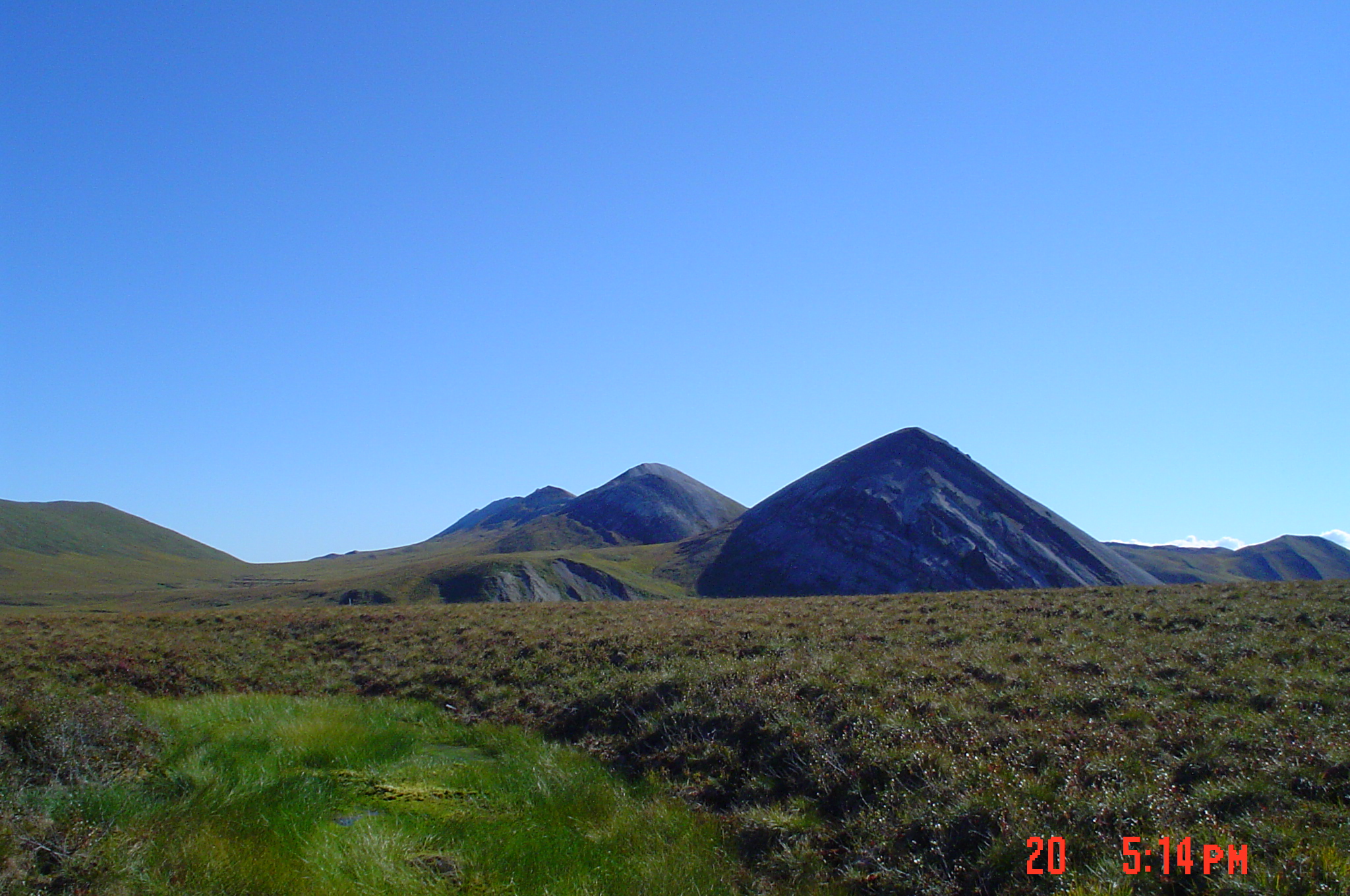
The Ivotuk
study area is located on the North Slope of Alaska, in the central southern
coastal plains north of the Brooks Range (Lat: 68* 29' N, Long:155* 44' W). It is flanked on the west by Iteriak Creek and the Ivotuk Hills, and on the east by Otuk
Creek. The airstrip and short road at the site were originally developed for
geologic exploration in the early 1980's. The study area itself was officially
established in 1998 as part of the Arctic Transitions in the Land-Atmosphere
System (ATLAS) project.
The 1 km x 1km CALM IVOTUK grid is primarely located on the first and second terrace of Otuk creek . The second terrace is
caracterized by prediminatly
tasocky Moist Asidic Tundra
with shraby watertracks on
slopes. The first terrace is characterozed by flat
Moist Nonacidic Tundra.
SAMPLING DESIGN AND METHOD:
1-sq km grid consists of a square
array of surveyed permanent stakes separated by 100 m, yielding an 11 ×
11 array of sampling nodes on each grid. Thaw depth and snow sampling was
conducted twice by manual probing at each stake. The two values for each
sampling point are averaged, yielding a maximum of 121 data points per grid per
probing date. The active layer was not measured at locations where grid points
intersect rocks or deep water.
During 1998-2002 The IVOTUK site was a
subject of The Arctic Transitions in the Land-Atmosphere System (ATLAS)
Project, a coordinated program that examined the geographical
patterns and controls over climate-land surface exchange and develop
reasonable scenarios of future change in the Arctic. The compilation of
information and measurements made at the Ivotuk site
on the North Slope of Alaska during 2.5 year period from 1998 through June 2000
is available at http://www.eol.ucar.edu/projects/atlas/ivotuk_cd/html/IvotukFrameset.htm.
The data include results of detailed vegetation, soil, climatologic, and
hydrologic investigations.
Up-to-date climate and soil
metadata/data for two installations within CALM Ivotuk
grid is also available at http://www.uaf.edu/water/projects/atlas/ivotuk/ivotuk.html
The real time images from camera
overlooking CALM site is available at http://transport.sri.com/ivotuk/
Only thaw depth data is available at
CALM site.
The
compilation of information and measurements made at the Ivotuk
site on the North Slope of Alaska during 2.5 year period from 1998 through June
2000 is available at http://www.eol.ucar.edu/projects/atlas/ivotuk_cd/html/IvotukFrameset.htm.
The
data include results of detailed vegetation, soil, climatologic, and hydrologic
investigations.
Up-to-date
climate and soil metadata/data for two installations within CALM Ivotuk grid is also available at http://www.uaf.edu/water/projects/atlas/ivotuk/ivotuk.html
Site
Photos The real time
images from camera overlooking CALM site is available at http://transport.sri.com/ivotuk/
Data
Access (Thaw
Depth)
The
compilation of information and measurements made at the Ivotuk
site on the North Slope of Alaska during 2.5 year period from 1998 through June
2000 is available at http://www.eol.ucar.edu/projects/atlas/ivotuk_cd/html/IvotukFrameset.htm.
Up-to-date climate and soil
metadata/data for two installations within CALM Ivotuk
grid is also available at http://www.uaf.edu/water/projects/atlas/ivotuk/ivotuk.html