|
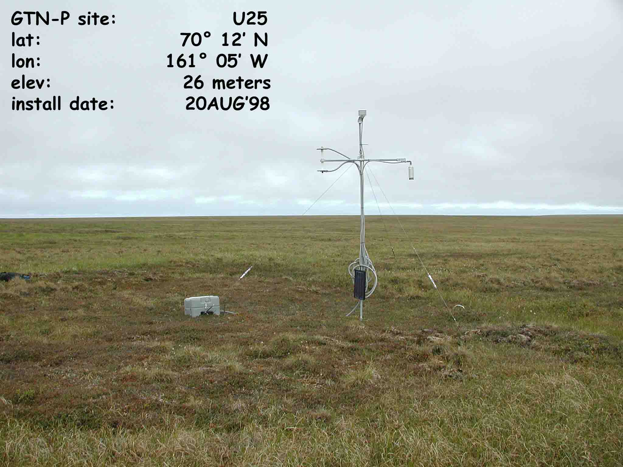
CALM SITE U25 |
TUNALIK |
|
Site code |
U25 |
|
Site name |
Tunalik |
|
CAPS I Metadata form |
|
|
CAPS II Metadata form |
GGD313U_25 |
|
Responsible for data submission |
Gary Clow |
|
Email Address |
clow@usgs.gov |
|
Institution/Organization |
U.S. Geological Survey |
|
Location description |
Arctic Alaska |
|
Location Lat. |
70 deg. 12 min. N |
|
Location Lon. |
161 deg. 05 min. W |
|
Elevation avg. (m) |
26 |
|
Name code |
[30] |
|
Methods Grid |
|
|
Methods Other |
T/B556 |
|
Years of record (a) |
5 |
|
Min Thaw (cm)(b) |
41 |
|
Max Thaw (cm)(b) |
48 |
|
Thawing Degree Days* |
950 |
|
Landscape Description |
Inner coastal plain |
|
Vegetation /Classification |
Moist Ðmeadow,
tussock-tundra complex |
|
Soils (or Material) |
(Silty sand) |
|
soil
temp. measurements (year started) |
1998 |
|
soil moisture measurements (year started) |
start 2003 |
|
general description of soil moisture (dry, moist, wet,
saturated) |
|
|
soil texture: if non organic describe texture, if organic
indicate thicknesss of organic layer (cm) |
The active layer thickness is
inferred from temperature measurements obtained from 30m borehole and are
presented in summary table. For site details see the GTNP_Alayer.pdf