|
CALM SITE U1 |
BARROW GRID |
|
Site code |
U1 |
|
Site name |
Barrow |
|
CAPS I Metadata form |
GGD359 |
|
CAPS II Metadata form |
GGD313U_1 |
|
Responsible for data submission |
N. I. Shiklomanov |
|
Email Address |
Shiklom”-at-“gwu.edu |
|
Institution/Organization |
GWU |
|
Location description |
Arctic Alaska |
|
Location Lat. |
71 deg. 19 min. N |
|
Location Lon. |
156 deg. 35 min. W |
|
Elevation avg. (m) |
3 |
|
Methods Grid |
1000 |
|
Methods Other |
Air Temperature, Soil temperature, Soil Moisture, Snow
cover |
|
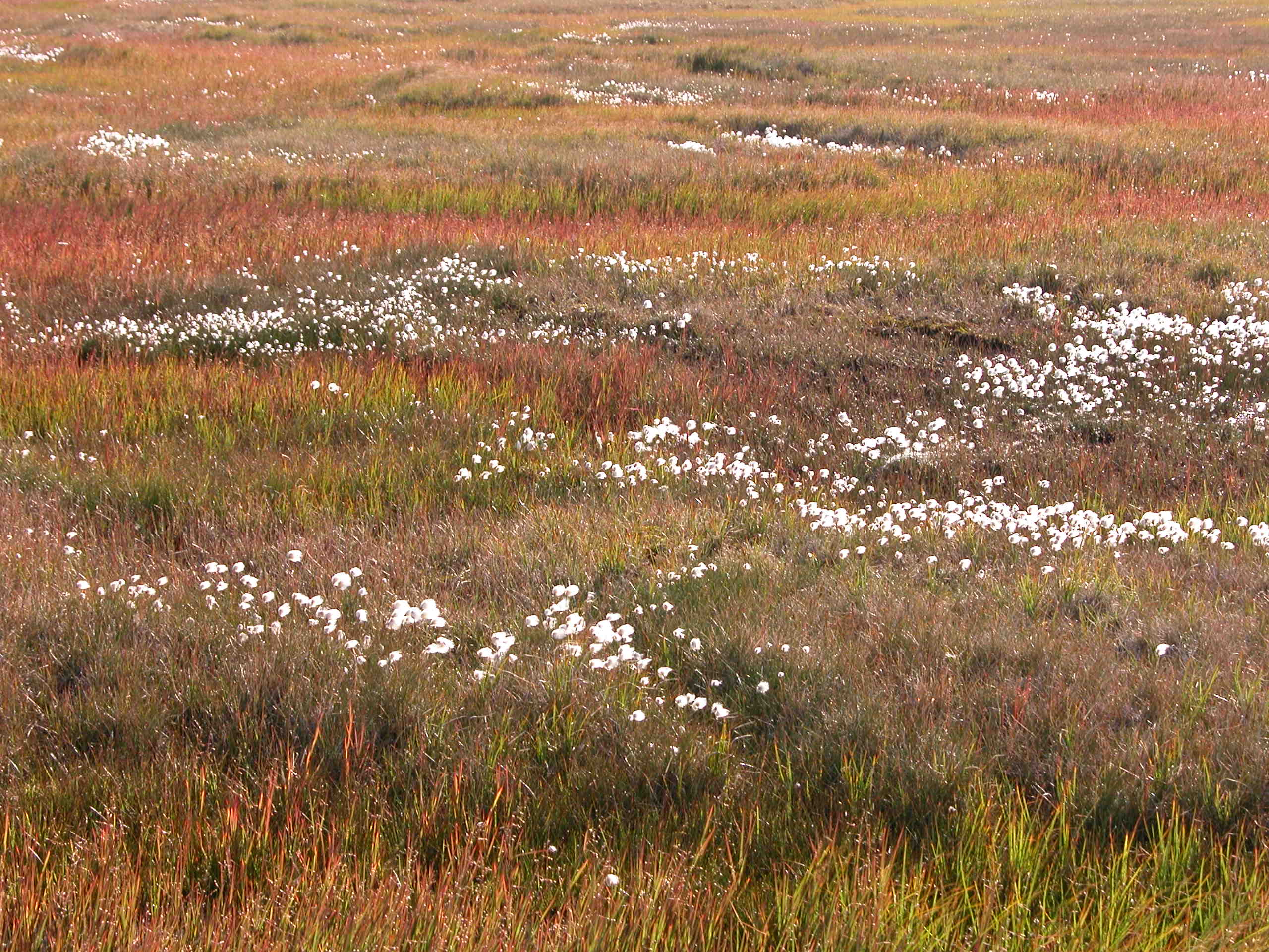
Landscape Description |
Outer coastal plain, drained lake basins |
|
Vegetation /Classification |
Graminoid-moss
tundra (wet and moist acidic) |
|
Soils (or Material) |
Typic
Histoturbel, Typic Aquiturbel (1) |
|
Thaw depth measurements (year started)
|
1995 |
|
Air temp. measurements (year started) |
1995 |
|
Snow cover measurements (year started) |
1995 |
|
soil
temp. measurements (year started) |
1995 |
|
soil moisture measurements (year started) |
1997 |
|
general description of soil moisture (dry, moist, wet,
saturated) |
Moist to wet, dry on beach ridge |
|
soil texture: if non organic describe texture, if organic
indicate thickness of organic layer (cm) |
Organic Layer thikness:13(cm); mineral texture -- siltty clay loam/loam/gravelly loam (coarce
beach ridge deposit) |
|
Additional thaw depth and ground temperature data are
available for years (1962-1966,1968, 1970, and
beginning 1991) for CALM site U2 located within the U1 Barrow grid. |
|
DESCRIPTION OF AREA CONTAINING SITE:
Primary
landscape elements: drained lake basin, polygonized upland. A 1 X 1 km ARCSS/CALM grid was
installed at Barrow in the early 1990s to facilitate collection of ecological,
edaphic, and geocryological information at
standardized locations that could be tied into coordinate systems with
high-order accuracy. Simultaneous air and shallow ground temperatures
observations have been made at several locations on the Barrow grid since 1993.
The environment at Barrow was described in a series of papers including of the
Tundra Biome Program during the 1970s (Brown et al., 1980). The Barrow 1-km2
grid is located about 5 km east of the village of Barrow on the outer Arctic
Coastal Plain. The site is situated on reworked silts of marine origin. Terrain
occupied by the grid encompasses a drained lake basin or lagoon to the west (Central
Marsh). To the east is a polygonized
‘‘upland,’’ a term used here to convey relative
elevation within the low relief Coastal Plain. These areas are separated by a
north-south trending beach ridge composed of sandy gravels. The polygonized upland is occupied by moist acidic tundra, with
well-developed low-centered, ice-wedge polygons in the northeast and
high-centered ice wedge polygons to the southeast. The latter developed in
response to thermomechanical incision by streams
draining to Elson Lagoon in the southeastern corner of the grid; ephemeral flow
is confined to the ice-wedge troughs (Hinkel & Nelson, 2003).
The
Barrow CALM grid was the first to be formally established as part of the
Circumpolar Active Layer Monitoring (CALM) program (Brown et al. 2000). A second series of nineteen, 10m plots
(CALM site U2) are located in the southeast section of
the 1 km grid. These plots were established in 1962 and active layers are
measured each year at the same time the 1 km grid is measured (Brown and
Johnson 1965).
SOIL DESCRIPTION:
(predominant texture, i.e., ‘sand’, ‘gravel’,
‘peat’, etc.): Ruptic-Histic and Typic Aquiturbels
SAMPLING DESIGN AND METHOD:
1-sq km grid consists of a square
array of surveyed permanent stakes separated by 100 m, yielding an 11 ×
11 array of sampling nodes on each grid. Thaw depth and snow sampling was
conducted twice by manual probing at each stake. The two values for each
sampling point are averaged, yielding a maximum of 121 data points per grid per
probing date. The active layer was not measured at locations where grid points
intersect rocks or deep water.
This
soil climate station U1-1
(Barrow 1) was established in June of 1995 and is located north of Barrow,
Alaska, near the NOAA Climate Monitoring and Diagnostics Laboratory (CMDL)
within the U1 CALM grid. The elevation is about 9 m (30 ft). This station
monitors soil temperature at various depths to a maximum of 120 cm, and soil
water content at 5, 20, and 35 cm depths. Measurements are made at 20-minute
intervals and averaged and recorded every hour.
This
soil climate station U1-2
(Barrow 2) is located north of Barrow, Alaska, on the Barrow Environmental
Observatory (BEO), which consists of 7,466 acres of arctic tundra that has been
permanently set aside for arctic research projects. U1-2 station is located
within the U1 CALM grid and in close proximity of CALM U2 CRREL plot. This
climate stations was established in June of 1996, and is at an elevation of
about 4 m (16 ft). This station monitors soil temperature at 15, 25, 24, and 43
cm depths, and soil water content at 15, 25, 34, and 46 cm depths. Soil temperature
and moisture content are measured in a frost boil at 10, 25, 40, and 55 cm
depths. Measurements are made at 20-minute intervals and averaged and recorded
every hour.
REFERENCES:
Brown, J. and P.L. Johnson; Pedo-ecological
investigation, Barrow, Alaska. U.S. Army CRREL
Technical Report 159, 1965.
Brown,
J., P. L. Miller, L. L. Tieszen, and F. Bunnell (Eds.), An Arctic
Ecosystem: The Coastal Tundra at Barrow, Alaska, John Wiley, New York, 1980.
Brown, J, K. M. Hinkel, and F. E. Nelson, 2000.
The Circumpolar Active layer Monitoring (CALM) Program: Research Designs
and Initial Results. Polar Geography 24 (3) 165-258
(published in 2002).
Hinkel, K.M. & Nelson, F.E. 2003.
Spatial and temporal patterns of active layer thickness at
Circumpolar Active Layer Monitoring (CALM) sites in northern Alaska, 1995-2000.
Journal of Geophysical Research, Vol.108, No. D2, 8168.
Soil temperature and soil moisture metadata and data are
also available at http://soils.usda.gov/survey/scan/alaska/Barrow2/
and http://soils.usda.gov/survey/scan/alaska/Barrow1/