|
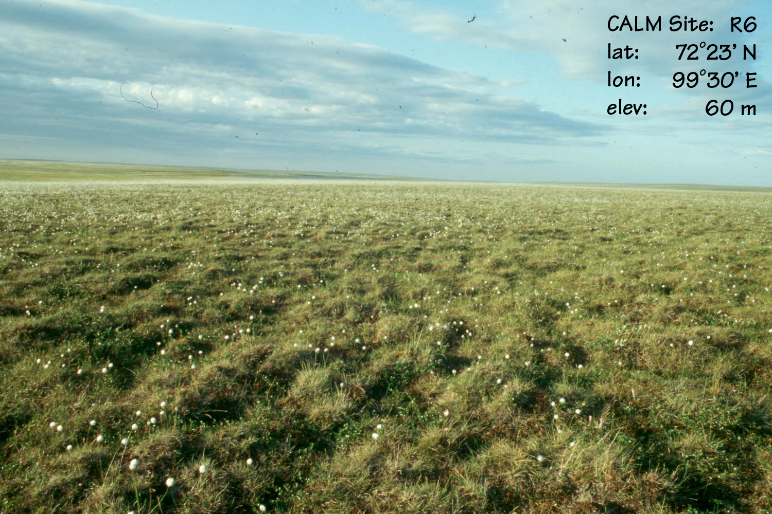
CALM SITE R6 |
LABAZ LAKE |
|
Site code |
R6 |
|
Site name |
Vaskiny Dachi Grid |
|
CAPS I Metadata form |
GGD346 |
|
CAPS II Metadata form |
Inactive |
|
Responsible for data submission |
Martin
Sommerkorn |
|
Email Address |
sommerkorn”-at-“ macaulay.ac.uk |
|
Institution/Organization |
The
Macaulay Institute, Craigiebuckler, Aberdeen AB15 8QH, UK |
|
Location description |
North shore
of Lake Labaz, Taimyr Peninsula, Central Northern Siberia |
|
Location Lat. |
72 deg. 23
min. N |
|
Location Lon. |
99 deg. 30
min. E |
|
Elevation avg. (m) |
60 |
|
Methods Grid |
100 |
|
Methods Other |
NA |
|
Landscape Description |
rolling
plain, numerous watertracks, creeks, ponds, elevation ranging from 60 to 150
m |
|
Vegetation /Classification |
Typical
Mesic Tussock (Eriophorum vaginatum) Tundra, Sphagnum virtually absent, on
gently (2-4 deg) NW facing slope |
|
Soils (or Material) |
Pergelic
Cryaquept, on clayey loam |
|
Thaw depth measurements (year started)
|
1994-1995 |
|
Air temp. measurements (year started) |
NA |
|
Snow cover measurements (year started) |
NA |
|
soil temp. measurements (year started) |
1994 |
|
soil moisture measurements (year started) |
NA |
|
general description of soil moisture (dry, moist, wet,
saturated) |
moist |
|
soil texture: if non organic describe texture, if organic
indicate thickness of organic layer (cm) |
organic
5-25 |
SITE
DESCRIPTION
THE SITE IS INACTIVE. FOR INFORMATION, PLEASE CONTACT R6 SITE
INVESTIGATOR DIRECTLY
SOIL DESCRIPTION:
(predominant texture, i.e., ‘sand’, ‘gravel’,
‘peat’, etc.): Pergelic
Cryaquept, on clayey loam
SAMPLING DESIGN AND METHOD:
NA
REFERENCES:
NA
List of available data