|
CALM SITE R55 |
Bely island (silt) |
|
Site code |
R55 |
|
Site name |
Bely island
(silt) |
|
CAPS I
Metadata form |
N/A |
|
CAPS II
Metadata form |
N/A |
|
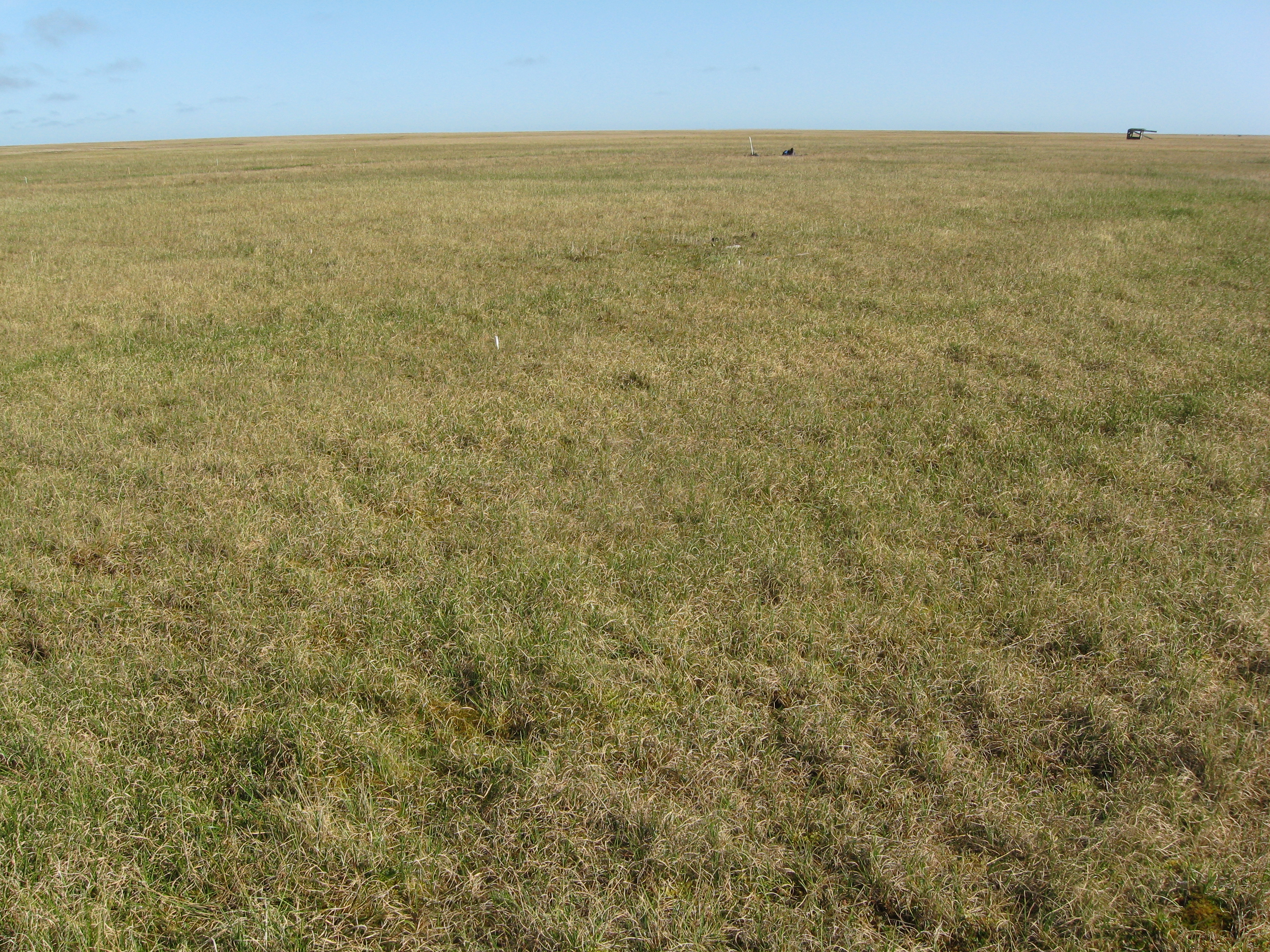
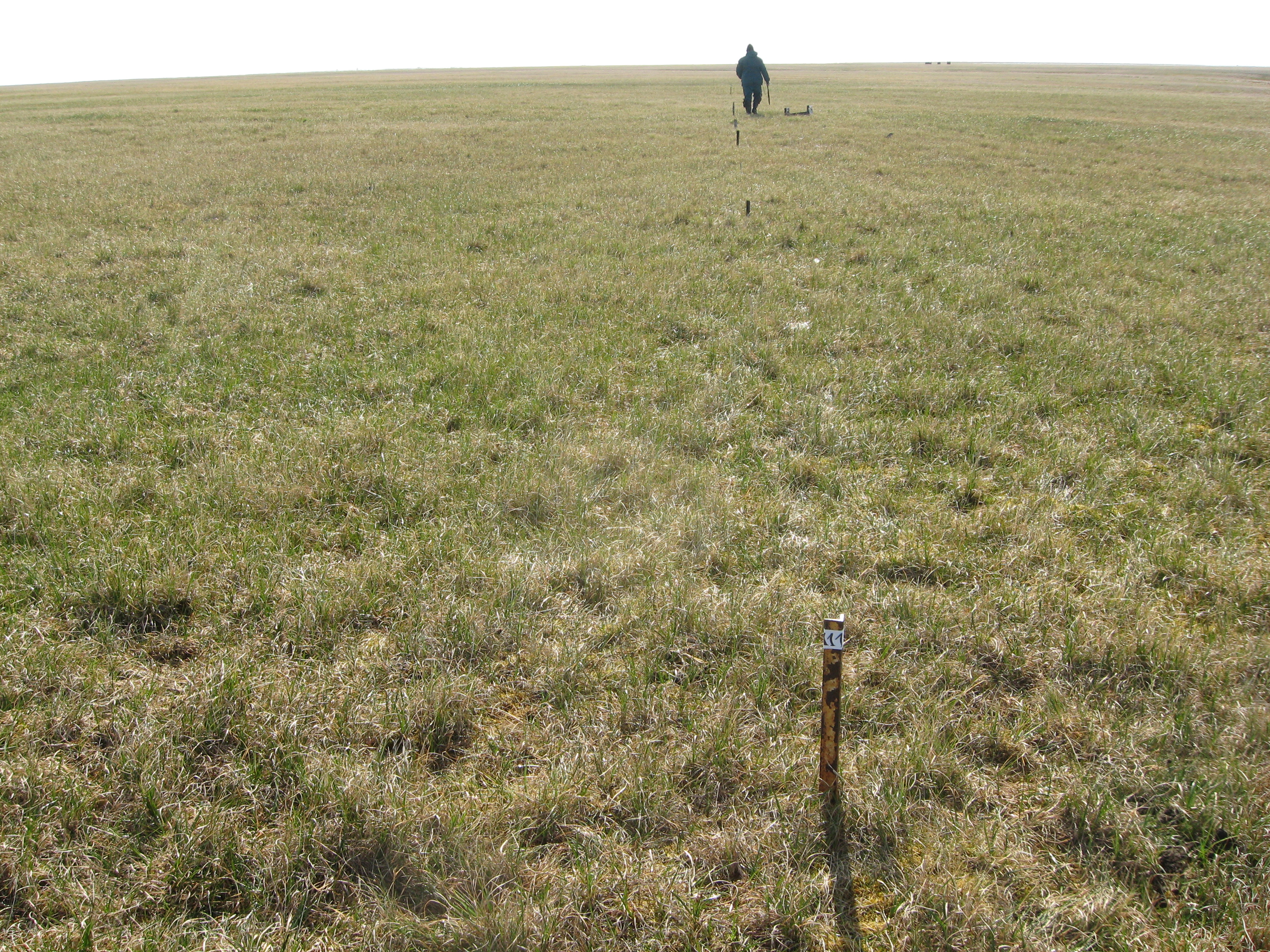
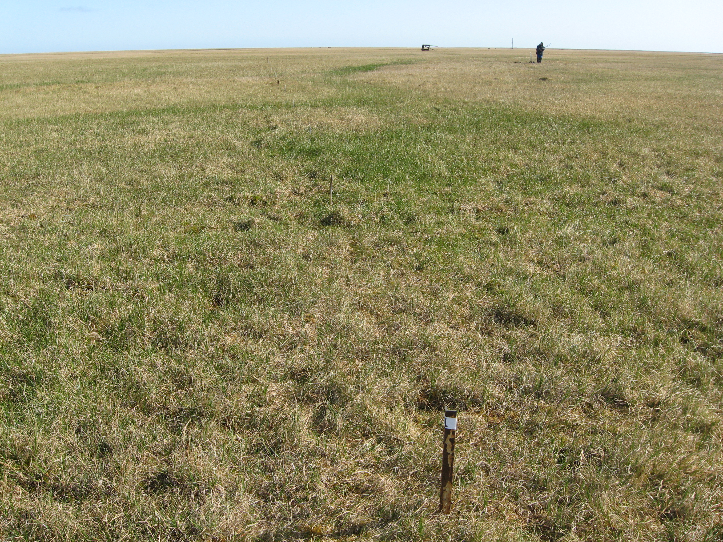
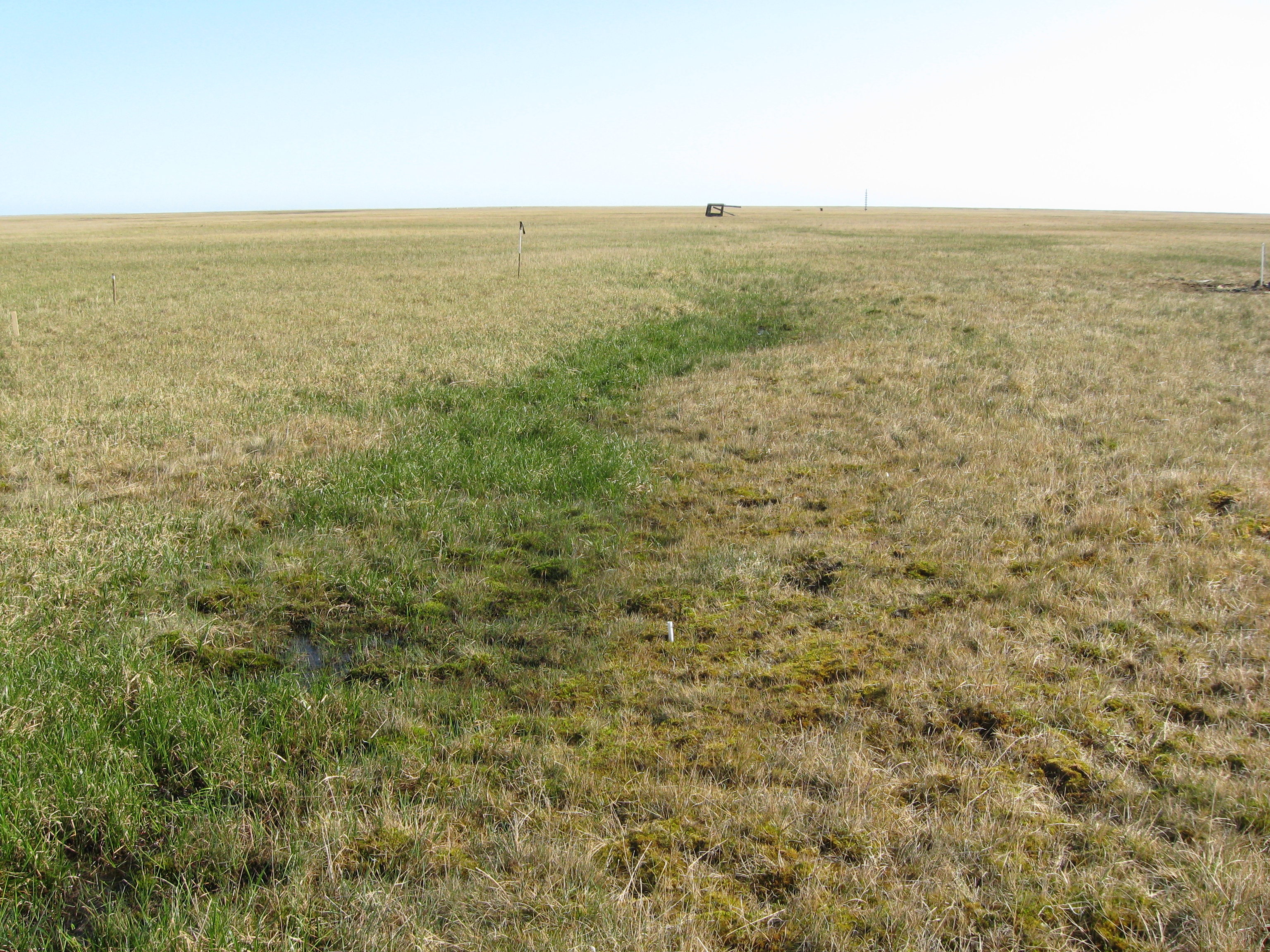
Site
Photograph (links below) |
|
|
Responsible
for data submission |
Pavel Orekhov |
|
Email
Address |
orekhov.eci”at”gmail.com |
|
Institution/Organization |
Earth Cryosphere Institute Tyumen
Scientific Centre SB RAS |
|
Location
description |
West
Siberia |
|
Location
Lat. |
73 deg 19 min 37 sec N |
|
Location
Lon. |
70 deg 05 min 07 sec E |
|
Elevation
avg. (m) |
4,2 |
|
Methods
Grid |
50 |
|
Methods
Other |
Air
temperature, Soil temperature, Snow thickness |
|
Landscape
Description |
Holocene
marine terraces, gentle slope |
|
Vegetation
/Classification |
Mesic polygonal
tundra with grass-cotton-grass-moss community with 30-50% moss cover on a
flat surface of polygons and Dwarf-willow (Salix polaris)
- grass-sedge tundra on moderately dry sites. Waterlogged depressions along
the ditches occupied by cotton-grass-moss and grass-moss bogs |
|
Soils (or
Material) |
Turbic cryosols
|
|
Thaw depth
measurements (year started)
|
2009 |
|
Air temp.
measurements (year started) |
1934 |
|
Snow cover
measurements (year started) |
1934 |
|
soil temp. measurements (year started) |
2009 |
|
soil
moisture measurements (year started) |
N/A |
|
general
description of soil moisture (dry, moist, wet, saturated) |
Moist to
saturated |
|
soil texture:
if non organic describe texture, if organic indicate thickness of organic
layer (cm) |
organic
layer thickness till 10 cm, silty sands to silt |
SITE DESCRIPTION
This site is located on the Bely island
on a gentle slope I marine terrace. Its altitude ranges from 3 to 7 meters. The
embedded 50 × 50 m CALM site lies in the 3.9-4.4 m altitude range in the
middle of the eastern slope of the terrace. The upper part of the lithological
section on the site is composed of slightly saline loamy sands. The slopes are covered by the mesic
polygonal tundra with grass-cotton-grass-moss community with 30-50% moss cover
on a flat surface of polygons and Dwarf-willow (Salix polaris) - grass-sedge tundra on moderately dry
sites. Waterlogged depressions along the ditches occupied by cotton-grass-moss
and grass-moss bogs. The total thickness of the organic cover (moss, lichen,
peat) does not exceed 10 cm.
SOIL DESCRIPTION: (predominant texture, i.e.,
‘sand’, ‘gravel’, ‘peat’, etc.): Dystri Turbi-Histic (Gleyic), Gleyi-Turbic Cryosols (loamy)
Gleyi-Turbic Cryosols
(loamy)
SAMPLING DESIGN AND METHOD:
50x50
m grid consists of a square array of surveyed permanent stakes separated by 5
m, yielding an 11 × 11 array of sampling nodes on each grid. Thaw depth
was conducted thrice by manual probing at each stake. The three values for each
sampling point are averaged, yielding a maximum of 121 data points per grid per
probing date.
REFERENCES:
Khitun, O.V., Ermokhina,
K.A., Leibman, M.O., Khomutov,
A.V. 2011. Plant species indicating the depth of active layer
on the Bely Island. Proc. of the Fourth
Conference of Russian Geocryologists. Moscow, Russia, June 7-9, 2011, V.3, M., University Books Press,
2011, P. 350–356 (In Russian).
Leibman M.O., Moskalenko N.G., Orekhov P.T., Khomutov A.V., Gameev I.A., Hitun O.V.,
Walker D., Epstein H. 2011. Interactions of cryogenic and biota
components of geosystems in Western Siberia permafrost zone on
transect "Yamal". Polar cryosphere and
waters of a land. M.: Paulsen, 171-192 (in Russian).
Walker, D.A., Orekhov, P., Frost,
G.V., Matyshak, G., Epstein, H.E., Leibman, M.O., Khitun, O., Khomotov, A., Daanen, R., Gobroski, K., Maier, H.A. 2009. The 2009
Yamal Expedition to Ostrov Belyy
and Kharp, Yamal Region, Russia. AGC Data Report.
University of Alaska Fairbanks, Fairbanks, AK, 63 pp
Below
are links to data, pictures etc.
Site photo1
Site photo2
Site photo3
Site photo4