|
CALM SITE R53 |
HARP |
|
Site code |
R53 |
|
Site name |
Harp |
|
CAPS I Metadata form |
|
|
CAPS II Metadata form |
|
|
Responsible for data submission |
Yaroslav Kamnev |
|
Email Address |
KamnevYK- at- gmail.com |
|
Institution/Organization |
Arctic
Research Center of the Yamal-Nenets autonomous distric,
Salekhard, Russia |
|
Location description |
foothills
of the Polar Ural in the north of Western Siberia |
|
Location Lat. |
66.723483o N |
|
Location Lon. |
66.080488o E |
|
Elevation avg. (m) |
111 |
|
Methods Grid |
100 |
|
Methods Other |
|
|
Landscape Description |
Coastal-marine terrace |
|
Vegetation /Classification |
Low-shrub tundra |
|
Soils (or Material) |
Loam |
|
Thaw depth measurements (year
started) |
2016 |
|
Air temp. measurements (year
started) |
|
|
Snow cover measurements (year
started) |
|
|
soil
temp. measurements (year started) |
|
|
soil moisture measurements (year
started) |
|
|
general description of soil
moisture (dry, moist, wet, saturated) |
|
|
soil texture: if non organic
describe texture, if organic indicate thickness of organic layer (cm) |
Loam |
|
SITE DESCRIPTION Harp
grid (R53) is located (66.723483o N, 66.080488o
E) in the north of Western Siberia, about 25 km east of the Polar Ural near
settlement Harp. The site is situated on a coastal-marine terrace,
characterized by loamy soils and underlined by low-temperature, continuous
permafrost. The climate of the region is subarctic with prolong and snowy
winters and short cool summers. On average the
period with negative mean daily air temperatures is 265 days. Mean annual air
temperature is -7.1оС. Mean air temperature of the
coldest month (January) is -24оС, of the warmest month (July) is +14.1oC.
Average annual wind speed is 4 m/s and
annual sum of precipitation is 414 mm/yr.
The climatologically average maximum snow-cover thickness is 110 cm. It has
micro relief of various genesis and complicated landscape structure,
described below: 1.
Relatively elevated wet areas (because of thick peat-moss cover), with
hummocks, bushes up to 20-30 cm, dwarf birch (Betula
Nana), Labrador tea (Ledum Polustre),
an abundance of cloudberry (Rubus Chamoemorus), sedge (Carex
Sp.), sphagnum moss. Shrub-moss-peat hummocky tundra. 2.
Spotted-medallion microrelief with overgrowing
ground spots and rollers, transformed into hummock, moderate humidity. Within
spots - outputs debris. Dwarf birch (Betula Nana),
a willow sp. (Salix), blueberries (Vaccinium ueiginosum), cranberries (Vaccinium
Vitis), sedges (Carex
Sp.), relatively thin moss layer, fragmentary lichen (Cetaria
Islandica). Spotted-medallion relatively drained
shrubby-sedge tundra. 3.
Hummocky microrelief, some hummocks up to 40-50 cm.
Overgrowning spot-medallions, watered hollow. Dwarf
birch (Betula Nana), Labrador tea (Ledum Polustre), cloudberry (Rubus Chamoemorus), sedges (Carex Sp.). Hummocky shrubby-moss tundra. 4.
Waterlogged land (thermokarst subsidence) with
small puddles, from 0.6-0.8m. up to 1-1.5 m deep,
overgrown with sedges, cotton grass and mosses (eutrophic wetland). Sedge (Carex Sp.), Cotton grass (Poa
Sp.), Sphagnum moss (Sphagnum). Wet sedge -cotton grass-moss tundra within thermokarst subsidence. 5.
Hummocky surface, relatively well-drained. Dwarf birch (Betula
nana), Labrador tea (Ledum polustre),
blueberries (Vaccinium ueiginosum),
sedge (Carex Sp.), with
thick moss - peat cover. Hummocky-shrub-sedge-moss tundra. 6.
Spotted-medallion sufficiently drained terrain. Large amount of rock debris
occurs within overgrown ground spots: gravel, pebbles and large boulders
(30-35 cm). Dwarf birch (Betula nana), a beautiful
willow (of Salix), sedge (Kalix Sp.), moss (thin
layer), moss fragments (Cetaria Islandica).
Spotted-medallion-drained-shrub-sedge-moss tundra. Landscape
types present on the site are shown on the map (fig. 1). SOIL DESCRIPTION:
(predominant texture, i.e., ‘sand’, ‘gravel’, ‘peat’, etc.): Sediments
primarily consist of loam with small intrusions of pebbles and overplayed by
a thin peat layer. SAMPLING
DESIGN AND METHOD: 1-ha grid consists of a square
array of surveyed permanent stakes separated by 10 m, yielding an 11 × 11
array of sampling nodes on each grid. Thaw depth and snow sampling was
conducted twice by manual probing at each stake. The two values for each
sampling point are averaged, yielding a maximum of 121 data points per grid
per probing date. The active layer was not measured at locations where grid
points intersect rocks or deep water. REFERENCES:
Kamnev Y., Sinitstkii
A., Grebenets V., Petrov
B., Creating new calm site near to town harp // Scientific Bulletin of
Yamal-Nenets autonomous district №4(93) / Salekhard,
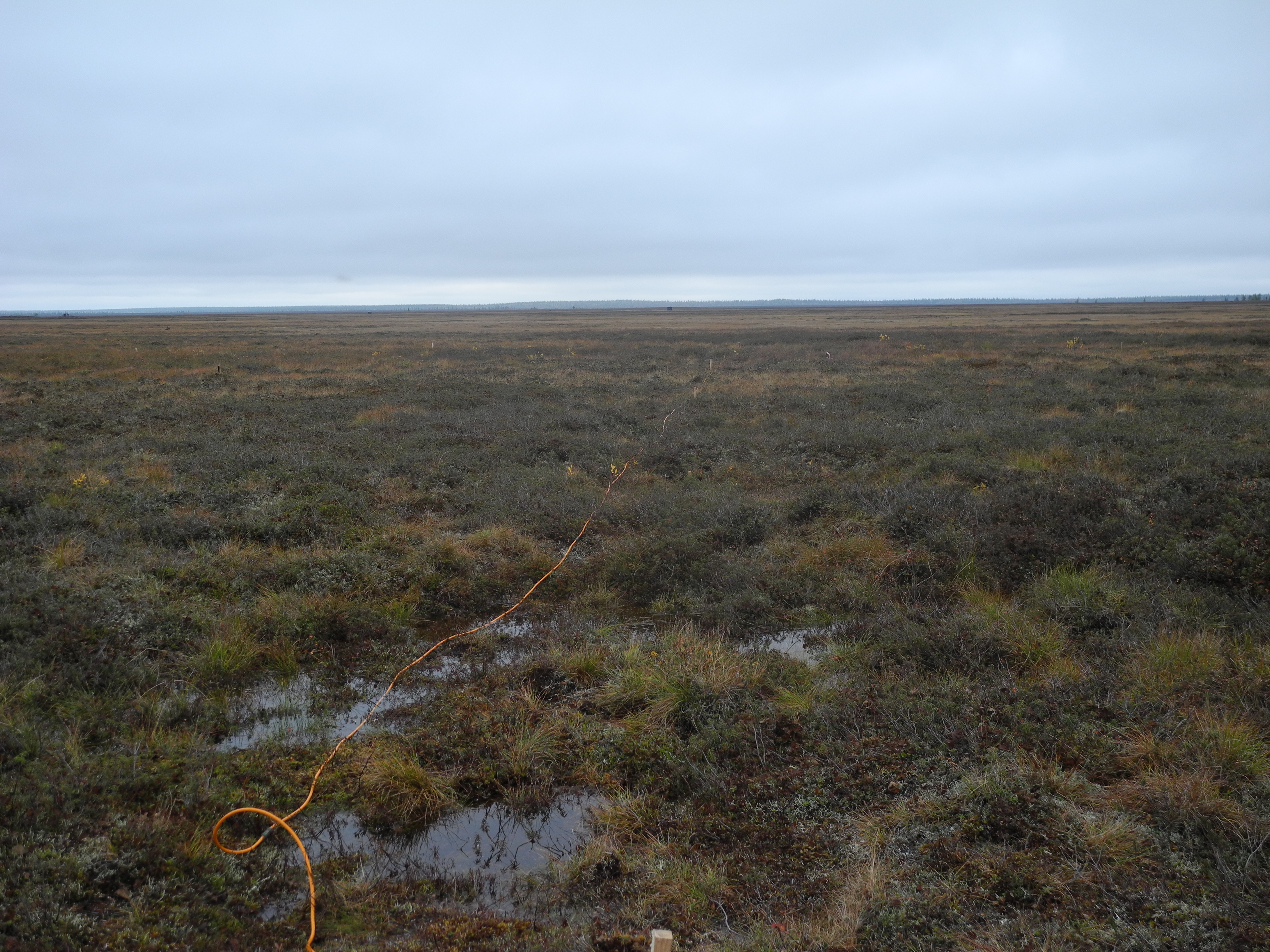
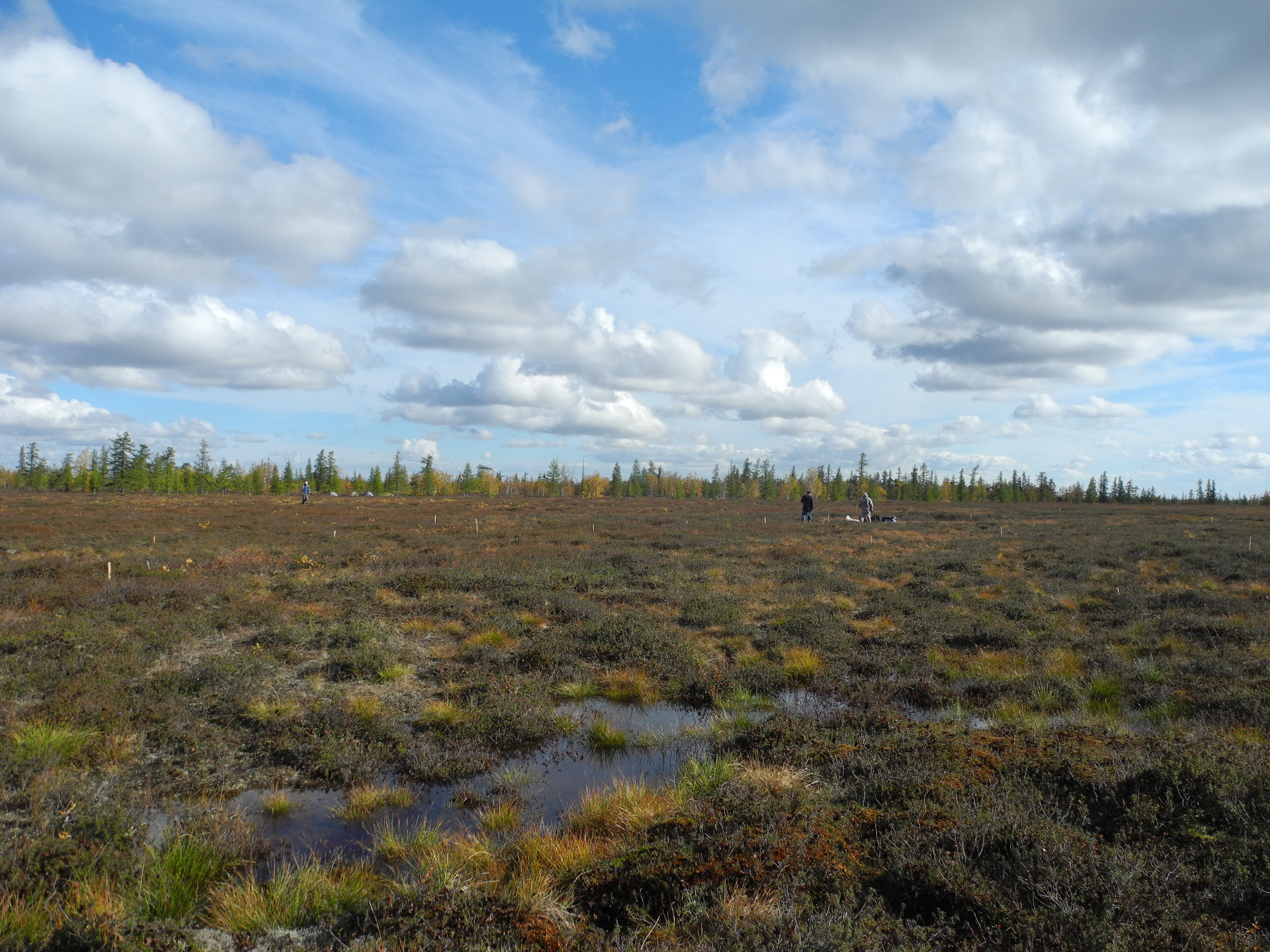
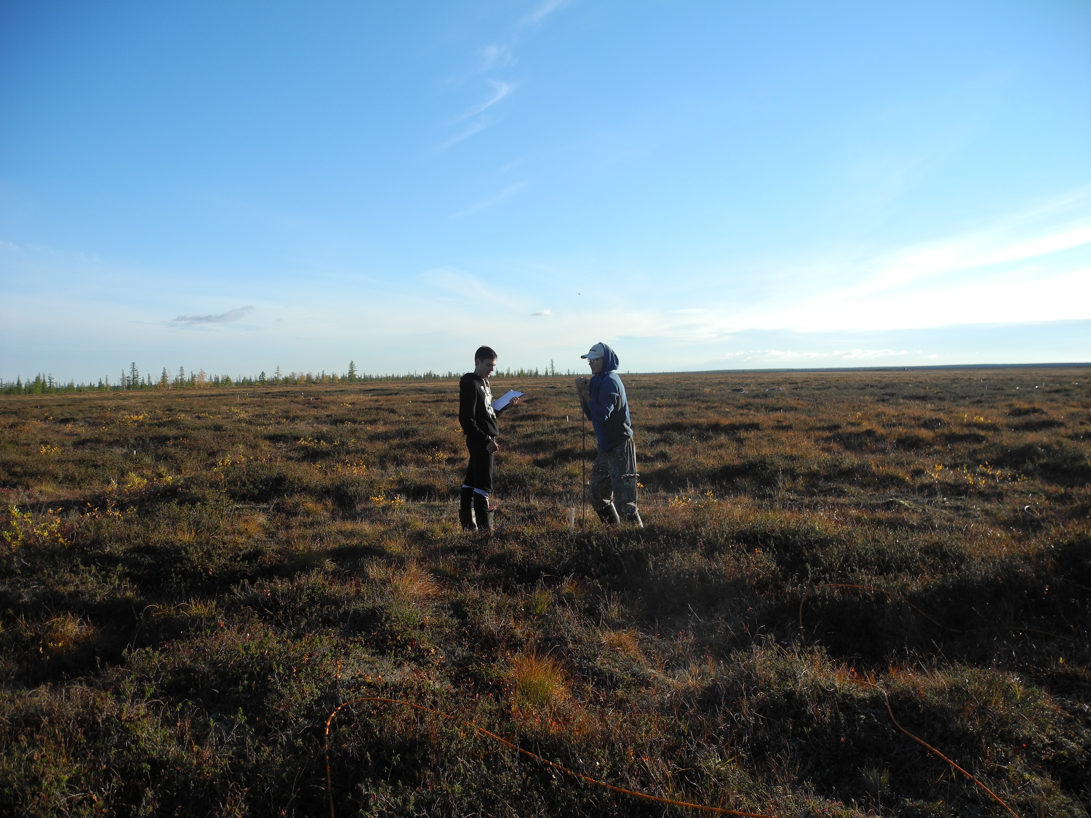
2008, p. 25-29. DATA Site
photo1 Site
photo2 Site
photo3 |
|