|
CALM SITE R51 |
SAMOYLOV |
|
Site code |
R51 |
|
Site name |
Samoylov |
|
CAPS I
Metadata form |
NA |
|
CAPS II
Metadata form |
NA |
|
Responsible
for data submission |
Julia Boike |
|
Email Address |
julia.boike - at - awi.de |
|
Institution/Organization |
AWI |
|
Location
description |
Lena River
Delta |
|
Location Lat. |
72.369775 N |
|
Location Lon. |
126.480632 E |
|
Elevation avg.
(m) |
14 |
|
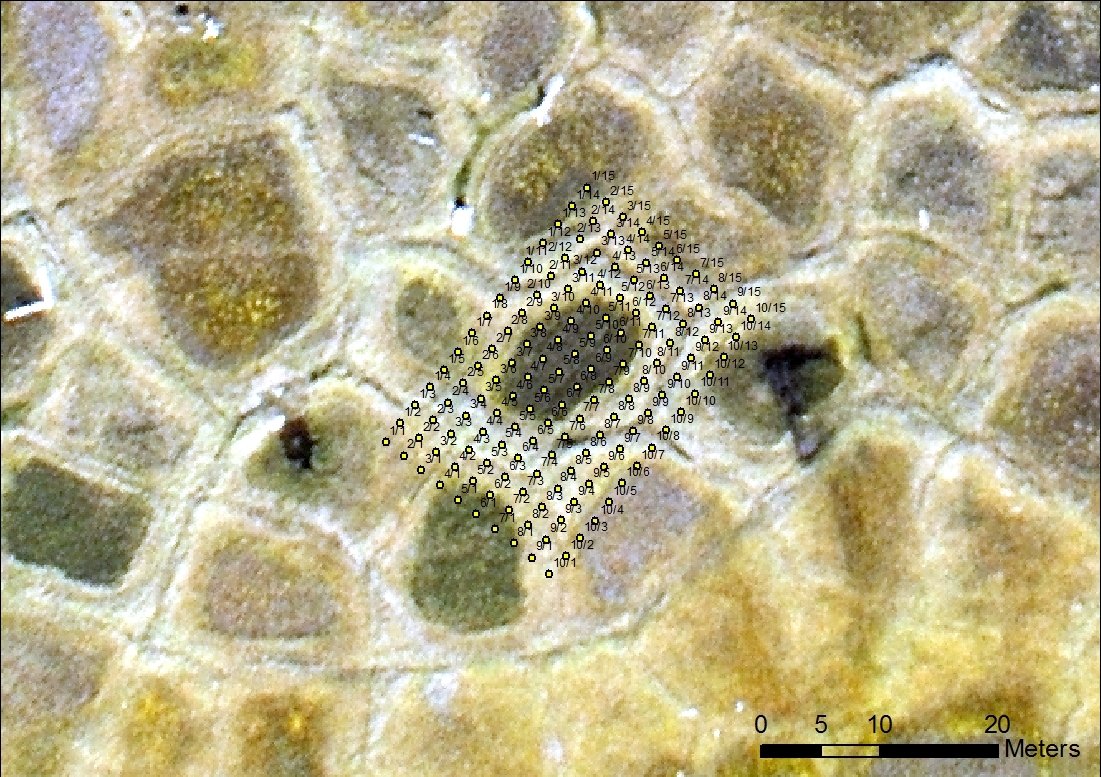
Methods Grid |
150 |
|
Methods Other |
Air
Temperature, Soil temperature, Soil Moisture, Snow cover |
|
Landscape
Description |
polygonal
tundra, wetland |
|
Vegetation
/Classification |
see below |
|
Soils (or
Material) |
see below |
|
Thaw depth measurements
(year started)
|
2002 |
|
Air temp.
measurements (year started) |
1998 |
|
Snow cover
measurements (year started) |
1998 |
|
soil temp. measurements (year started) |
1998 |
|
soil moisture
measurements (year started) |
1998 |
|
general
description of soil moisture (dry, moist, wet, saturated) |
Moist to wet,
dry on polygon ridges |
|
soil texture:
if non organic describe texture, if organic indicate thickness of organic
layer (cm) |
see below |
SITE
DESCRIPTION
Samoylov Island consists of a flood plain in the
west and an elevated river terrace in the east that is characterized by
polygonal tundra. The polygonal tundra on Samoylov
Island forms a highly fragmented land cover pattern consisting of dry polygonal
ridges with wet depressed centers, as well as numerous larger water bodies . We distinguish locally between “wet”
and “dry” tundra on the basis of differences in surface wetness . “Dry” tundra conforms to the
moist-herbaceous plant communities identified on the Circumpolar Arctic
Vegetation Map and occurs on polygon ridges, well drained plateaus and elevated
polygon centers, while “wet” tundra is found in depressed polygon
centers, in water channels and on collapsed ridges.
Large
parts of the flood plain are devoid of vegetation. The overgrown parts of the
flood plain are characterised by the Salix-Equisetum-Alopecurus alpinus community,
dominated by willow shrubs (Salix glauca, S. lanata and S. reptans), horsetail
(Equisetum), Poaceae (Alopecurus
alpinus, Festuca rubra, Deschampsia borealis) and Tanacetum bipinnatum. While
mosses are very rare on the floodplain, they form areas of dense cover on the
first terrace.
The
dry tundra is dominated by the moss species Hy- locomium splendens, together with
Dryas punctata, Poly- gonum
viviparum, Astragalus frigidus, with willow shrubs (Salix glauca,
S. lanata and S. reptans,
S. reticulata), and lichens (Peltigera)
belonging to the Hylocomium splendens-
Dryas punctata-lichen community.
The
vegetation of the wet tundra is made up of the Drepanocladus
revolvens-Meesia triquetra-Carex
chordor- rhiza community
(i.e., the hydrophilic mosses Drepan- ocladus revolvens, Meesia triquetra, and Calliergon gigan- teum), the sedge Carex chordorrhiza, marsh
cinquefoil (Co- marum palustre),
sudetic lousewort (Pedicularis
sudetica), and others. Carex
concolor, together with the moss species Tomen- typnum nitens, Aulacomnium palustre, and Aulacomnium turgidum, are very
common in both the Drepanocladus revolvens-Meesia
triquetra-Carex chordorrhiza community of the wet tundra and the Hylocomium splendens-Dryas punctata-lichen community of the dry tundra. While Carex concolor is very tolerant
with respect to water supply and has a high presence both in wet polygon
depressions (97 %) and on dry polygon ridges (90 %), with coverage levels of 12
% and 4.4 %, respectively, the previously mentioned moss species (Tomentypnum nitens, Aulacomnium palustre, and Aulacomnium turgidum) prefer
intermediate moisture con- ditions such as those
found on hummocks in depressed poly- gon centres, or on the lower parts of ridge slopes.
REFERENCES:
Boike, J., Nitzbon,
J., Anders, K., Grigoriev, M., Bolshiyanov,
D., Langer, M., Lange, S., Bornemann, N.,
Morgenstern, A., Schreiber, P., Wille, C., Chadburn, S., Gouttevin, I.,
Burke, E., and Kutzbach, L.: A 16-year record
(2002–2017) of permafrost, active-layer, and meteorological conditions at
the Samoylov Island Arctic permafrost research site,
Lena River delta, northern Siberia: an opportunity to validate remote-sensing
data and land surface, snow, and permafrost models, Earth Syst. Sci. Data, 11,
261–299, https://doi.org/10.5194/essd-11-261-2019, 2019
List of
available data. The site reports only average values of the active layer
thickness, for a complete dataset, please contact the site investigator
directly