|
CALM SITE R47 |
CHARA MOST |
|
Site code |
R47 |
|
Site name |
Chara Most
|
|
CAPS I Metadata form |
NA |
|
CAPS II Metadata form |
NA |
|
Responsible for data submission |
Aleksyutina Daria, Gergesova Julia, Bolotyuk Mikhail, Sergeev Dmitry |
|
Email Address |
|
|
Institution/Organization |
Moscow State University; Institute of Environmental Geoscience RAS, |
|
Location description |
Verhne-Charsky basin, north of the Chita region |
|
Location Lat. |
56.906264 (for site center) |
|
Location Lon. |
118.280672 (for site center) |
|
Elevation avg. (m) |
705 |
|
Methods Grid |
100 |
|
Methods Other |
Soil temperature, Soil Moisture,
Soil density |
|
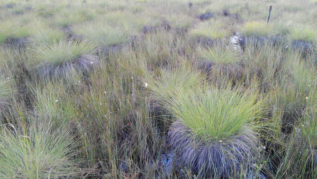
Landscape Description |
Plain of first terrace |
|
Vegetation /Classification |
Hummocky tundra and hummocky
mire (sedge is dominated) |
|
Soils (or Material) |
Sandy silt and peat overlaid by sands |
|
Thaw depth
measurements (year
started) |
2013 |
|
Air temp.
measurements (year started) |
2007 |
|
Snow cover
measurements (year started) |
|
|
soil temp. measurements (year started) |
1987 |
|
soil moisture
measurements (year started) |
2009 |
|
general description
of soil moisture (dry, moist, wet, saturated) |
Saturated |
|
soil texture: if non
organic describe texture, if organic indicate thickness of organic layer (cm) |
Up to |
SITE DESCRIPTION
Active layer
monitoring at the Chara Most CALM grid was initiated
in 2013. Studied area is located in the east from Chara downtown, north of the Chita region, East Siberia. CALM site is situated on the fluvial plain with elevation ranging from 705 to
SOIL DESCRIPTION: (predominant texture, i.e.,
‘sand’, ‘gravel’, ‘peat’, etc.): Geological section is composed by sandy silt
and peat overlaid by sands with gravel. In previous year moisture (water mass
to mass of dry soil) and density of these soils were studied in laboratory.
The water content of peat varies from 250 to 300 % and density varies from 0.7
to 1.3 g/cm3. The moisture of sandy silt ranges from 35 to 60%.
SAMPLING DESIGN AND METHOD:
1-ha grid consists of a square array of permanent
stakes separated by