|
CALM SITE R42 |
TUYMADA |
|
Site code |
R42 |
|
Site name |
Tuymada
(Yakutsk region) |
|
CAPS I
Metadata form |
|
|
CAPS II
Metadata form |
|
|
Responsible
for data submission |
P.Konstantinov |
|
Email
Address |
Konstantinov”-at-“mpi.ysn.ru |
|
Institution/Organization |
Permafrost Institute SB RAS |
|
Location
description |
Interior
Siberia, central Yakutia |
|
Location
Lat. |
62.013306°
N |
|
Location
Lon. |
129.656991°
E |
|
Elevation
avg. (m) |
101 |
|
Methods
Grid |
30 x 50 thaw tubes |
|
Methods
Other |
Air and
Soil Temperature |
|
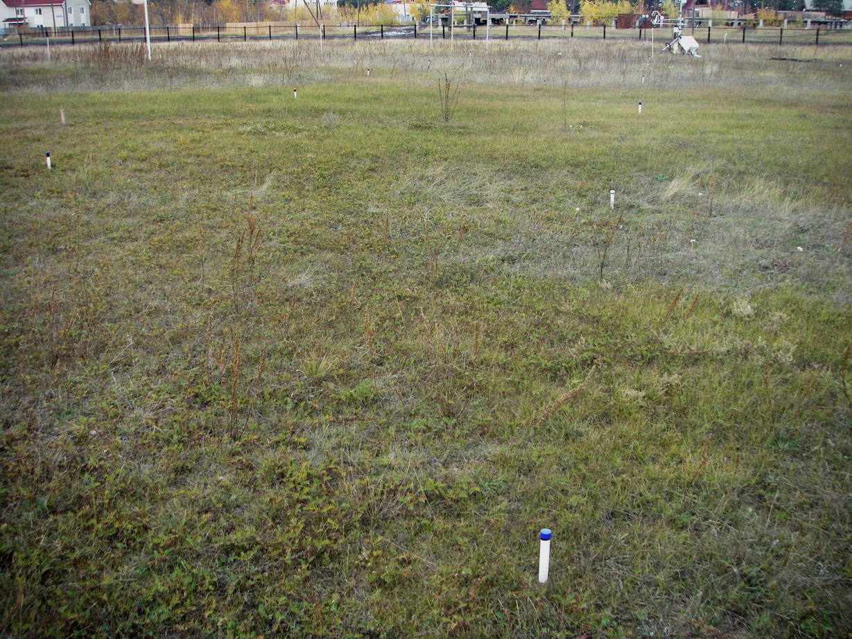
Landscape
Description |
second terrace of Lena river, top of gentle ridge |
|
Vegetation
/Classification |
meadow (mixtoherboso-graminosum) |
|
Soils (or
Material) |
fluvial |
|
Thaw depth measurements (year started)
|
2008 |
|
Air temp. measurements (year started) |
2008 |
|
Snow cover measurements (year started) |
2008 |
|
soil
temp. measurements (year started) |
2008 |
|
soil moisture measurements (year started) |
2008 |
|
general description of soil moisture (dry, moist,
wet, saturated) |
dry |
|
soil texture: if non organic describe texture, if organic
indicate thickness of organic layer (cm) |
loamy sand,
sand |
|
SITE
DESCRIPTION See data file for site description SOIL DESCRIPTION:
(predominant texture, i.e., ‘sand’, ‘gravel’,
‘peat’, etc.): See data file for soil description |
|
SAMPLING
DESIGN AND METHOD:
30x50 grid consists of a square array of thaw tubes separated by 5
m, yielding 77 of sampling nodes on each grid. Additionally temperature installation
include 3 data logger TR-52 (0.0, 3.2 m, 3.2 m); 1 data logger TR-51A (0.0 m)
REFERENCES: