|
CALM SITE R41 |
LORINO |
|
Site code |
R41 |
|
Site name |
Lorino |
|
CAPS I
Metadata form |
|
|
CAPS II
Metadata form |
|
|
Responsible
for data submission |
Dmitri
Zamolodchikov |
|
Email
Address |
Dzamolod”-at-“cepl.rssi.ru |
|
Institution/Organization |
Center for Ecology and Forest Productivity, Moscow |
|
Location
description |
Chukotka |
|
Location
Lat. |
65.539667 |
|
Location
Lon. |
-171.630229 |
|
Elevation
avg. (m) |
45 |
|
Methods
Grid |
100 |
|
Methods
Other |
|
|
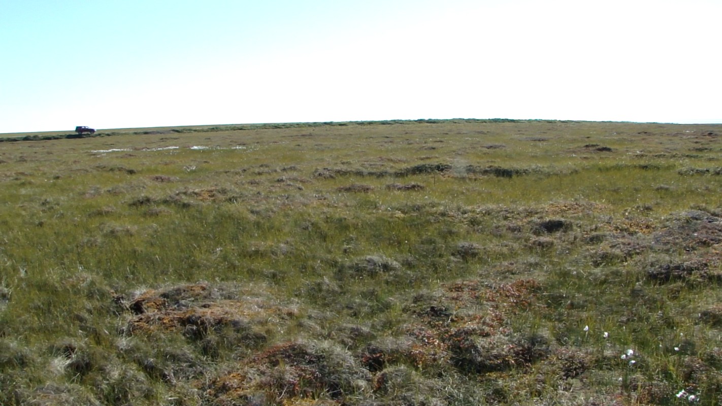
Landscape
Description |
Coastal
plain |
|
Vegetation
/Classification |
Palsa
bog vegetation with inclusion of sedge tussocks |
|
Soils (or
Material) |
Peat, underlain with sand |
|
Thaw depth measurements (year started)
|
2010 |
|
Air temp. measurements (year started) |
2012 (planned) |
|
Snow cover measurements (year started) |
not planned |
|
soil
temp. measurements (year started) |
2012 (planned) |
|
soil moisture measurements (year started) |
2011 |
|
general description of soil moisture (dry, moist,
wet, saturated) |
From wet to saturated |
|
soil texture: if non organic describe texture, if
organic indicate thickness of organic layer (cm) |
Organic layer thickness from 10 to 30 cm, underlain
with sand |
|
|
|
|
|
|
|
SITE
DESCRIPTION Area is situated at the rear stitch of the coastal
plain (about SOIL DESCRIPTION:
(predominant texture, i.e., ‘sand’, ‘gravel’, ‘peat’,
etc.): Peat, underlain with sand |
|
|
|
|
SAMPLING
DESIGN AND METHOD:
1-ha grid consists of a square
array of surveyed permanent stakes separated by 10 m, yielding an 11 × 11
array of sampling nodes on each grid. Thaw depth sampling was conducted by
manual probing in four replications at each stake. The four values for each
sampling point are averaged, yielding a maximum of 121 data points per grid per
probing date. Annual heaving/subsidence is measured in
10-15 nodes of the site. Measurements of water content are made annually at
each grid point. The description of vegetation at 40x40 cm sample plots is
performed at each stake.
REFERENCES: