|
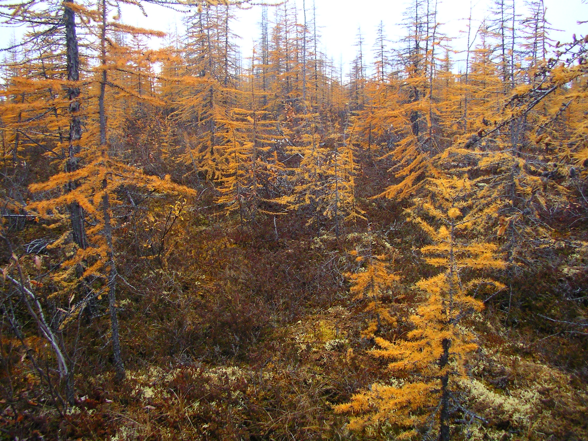
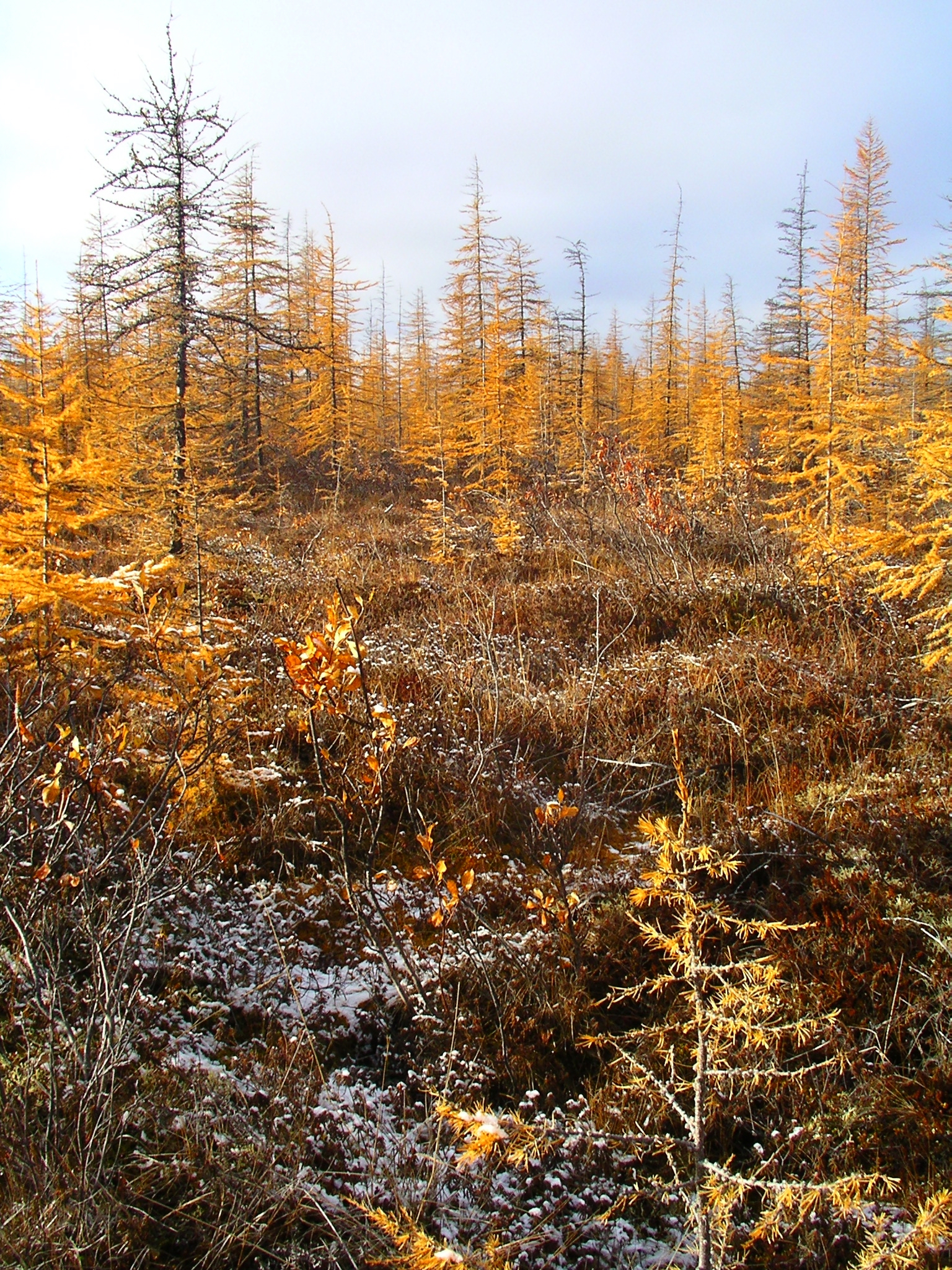
CALM SITE R36 |
ANDRYUSHKINO |
|
Site code |
R36 |
|
Site name |
Andryushkino |
|
CAPS I Metadata form |
|
|
CAPS II Metadata form |
|
|
Responsible for data submission |
Andrey Abramov |
|
Email Address |
pro-forest@mail.ru |
|
Institution/Organization |
Institute
of Physicochemical and Biological Problems in Soil Science Pushchino, Moscow region |
|
Location description |
Lower Koyma River |
|
Location Lat. |
69 deg. 10
min. N |
|
Location Lon. |
154 deg. 26
min. E [02'] |
|
Elevation avg. (m) |
21 |
|
Methods Grid |
100 |
|
Methods Other |
|
|
Landscape Description |
|
|
Vegetation /Classification |
|
|
Soils (or Material) |
|
|
Thaw depth measurements (year started)
|
2005 |
|
Air temp. measurements (year started) |
|
|
Snow cover measurements (year started) |
|
|
soil
temp. measurements (year started) |
|
|
soil moisture measurements (year started) |
|
|
general description of soil moisture (dry, moist, wet,
saturated) |
|
|
soil texture: if non organic describe texture, if organic
indicate thickness of organic layer (cm) |
|
|
SITE DESCRIPTION THE SITE DISCRIPTION FOR R36 ANDRYUSHKINO IS UNDER DEVELOPMENT.
FOR INFORMATION, PLEASE CONTACT R36 SITE INVESTIGATOR DIRECTLY SOIL DESCRIPTION:
(predominant texture, i.e., ‘sand’, ‘gravel’,
‘peat’, etc.): |
|
SAMPLING
DESIGN AND METHOD:
1-ha
grid consists of a square array of surveyed permanent stakes separated by 10 m,
yielding an 11 × 11 array of sampling nodes on each grid. Thaw depth and
snow sampling was conducted twice by manual probing at each stake. The two
values for each sampling point are averaged, yielding a maximum of 121 data
points per grid per probing date. The active layer was not measured at
locations where grid points intersect rocks or deep water.
REFERENCES:
List of available data