|
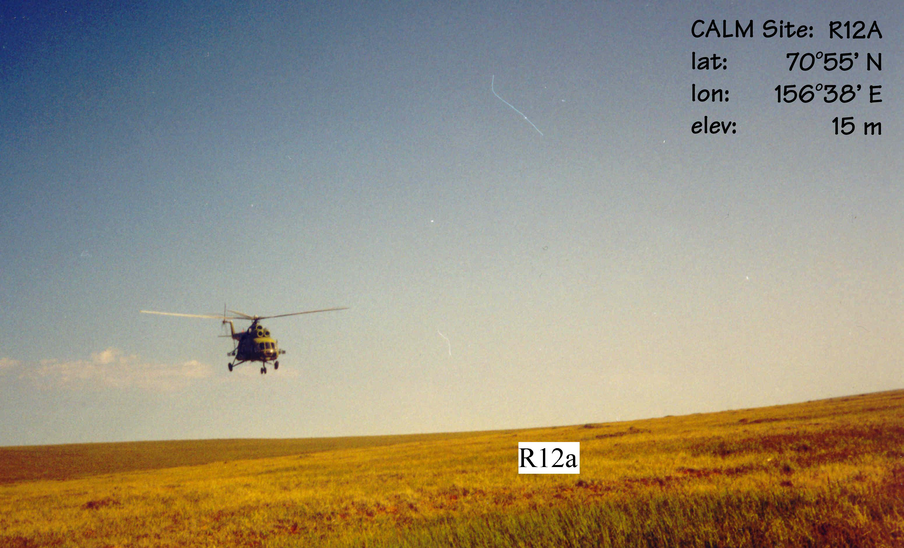
CALM SITE R12A |
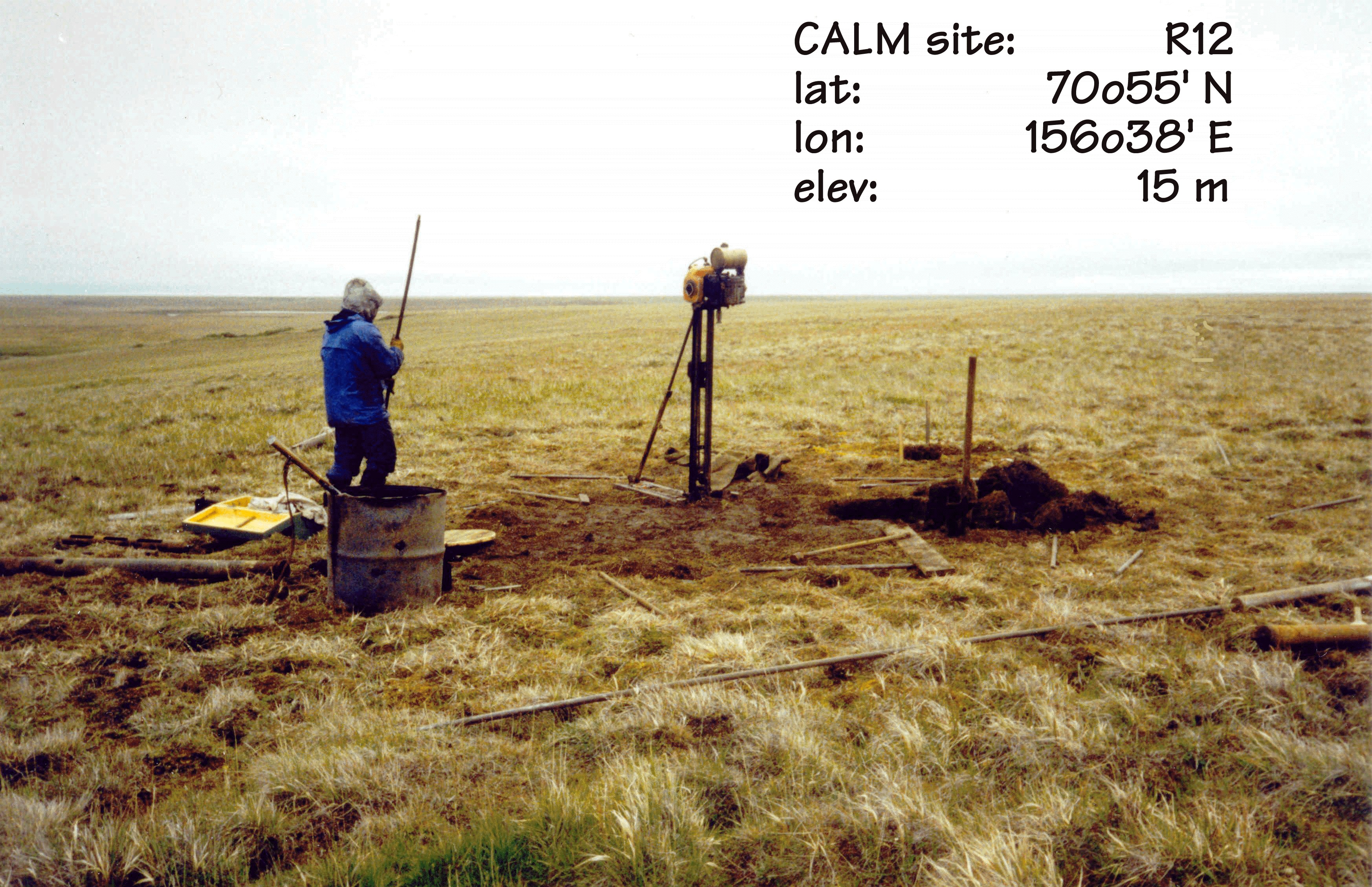
CALM SITE R12B |
|
|
Site name |
Kuropatochya
River |
Kuropatochya
River |
|
CAPS I Metadata form |
GGD362 |
GGD362 |
|
CAPS II Metadata form |
inactive |
inactive |
|
Site Photograph |
||
|
Responsible for data submission |
Andrey Abramov |
Andrey Abramov |
|
Email Address |
pro-forest@mail.ru |
pro-forest@mail.ru |
|
Institution/Organization |
Institute of Physicochemical and Biological Problems in
Soil Science Pushchino, Moscow region |
Institute of Physicochemical and Biological Problems in
Soil Science Pushchino, Moscow region |
|
Location description |
Lower Kolyma River |
Lower Kolyma River |
|
Location Lat. |
70 deg. 55 min. N |
70 deg. 55 min. N |
|
Location Lon. |
156 deg. 38' E |
156 deg. 38' E |
|
Elevation avg. (m) |
15 |
11 |
|
Methods Grid |
100 |
100 |
|
Methods Other |
||
|
Landscape Description |
Edoma
with alas depressions |
Edoma
with alas depressions |
|
Vegetation /Classification |
Mesic sedge-cottongrass tundra |
Mesic sedge-cottongrass tundra |
|
Soils (or Material) |
Gleyic
Cryosols (loamy) (3) |
Gleyic
Cryosols (loamy) (3) |
|
Thaw depth measurements (year started)
|
1996 (only) |
1996 (only) |
|
soil
temp. measurements (year started) |
no |
no |
|
soil moisture measurements (year started) |
no |
no |
|
general description of soil moisture (dry, moist, wet,
saturated) |
moist |
moist |
|
soil texture: if non organic describe texture, if organic
indicate thicknesss of organic layer (cm) |
loamy |
loamy |
|
|
||
REFERENCES:
Fyodorov-Davydov, D.G., Sorokovikov, V.A., Ostroumov,
V.E., Kholodov, A.L., Mitroshin,
I.A., Mergelov, N.S., Davydov,
S.P., Zimov, S.A. & Davydova,
A.I. 2004. Spatial
and Temporal Observations of Seasonal Thaw in the Northern Kolyma Lowland.
Polar Geography 28 (4):
308-325.