|
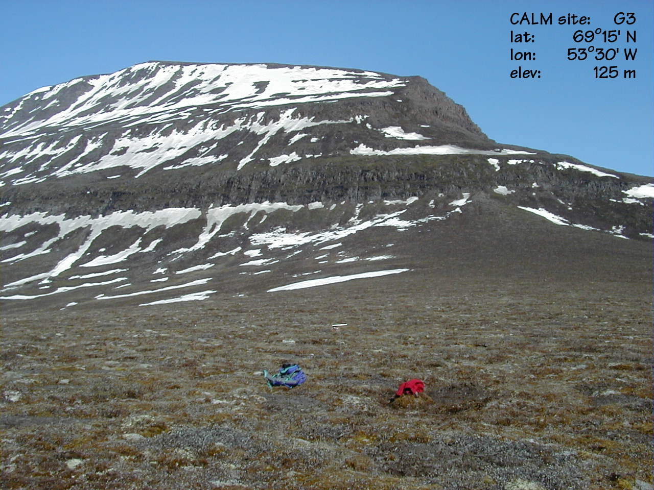
CALM SITE G3 |
DISCO ISLAND |
|
Site code |
G3 |
|
Site name |
Disko Island |
|
CAPS I Metadata form |
GGD356 |
|
CAPS II Metadata form |
GGD313_G3 |
|
Responsible for data submission |
Hanne H.
Christiansen |
|
Email Address |
hhc@unis.no |
|
Institution/Organization |
The University Centre in Svalbard, UNIS |
|
Location description |
Greenland |
|
Location Lat. |
69 deg. 15 min. N |
|
Location Lon. |
53 deg. 30 min. W |
|
Elevation avg. (m) |
125 |
|
Methods Grid |
90 |
|
Methods Other |
Ground temperature |
|
Landscape Description |
Top of moraine ridge |
|
Vegetation /Classification |
Willows, mosses |
|
Soils (or Material) |
|
|
Thaw depth measurements (year started)
|
1997 |
|
Air temp. measurements (year started) |
|
|
Snow cover measurements (year started) |
|
|
soil
temp. measurements (year started) |
1997 |
|
soil moisture measurements (year started) |
|
|
general description of soil moisture (dry, moist, wet,
saturated) |
dry |
|
soil texture: if non organic describe texture, if organic indicate thickness of organic layer (cm) |
fine-grained, moraine ridge |
|
Observation/Instrumentation(depths):
100 m grid with Tinytags datalogger for soil temperature measurements at 0 cm; 30
cm; and 70 cm depth at the center of the grid with measurement every 3 hours from
July 1997 to July 1999 and then every 2 hours until 2001. Site
history: temperature recording in the calm grid started in July
1997; ITEX sites in the area. This is site G3 of the CALM network. Some holes
in the dataseries due to failure of the dataloggers. When failure no data is registered. References: Christiansen, H.H. (1999) Active layer monitoring in two
Greenlandic permafrost areas: Zackenberg and Disko Island. Danish Journal of Geography, 99, 117-121. |
|