|
Location description |
China |
||||||||||||||||||||||
|
Responsible for data
submission |
Zhao Lin |
||||||||||||||||||||||
|
Email Address |
|||||||||||||||||||||||
|
Institution/Organization |
Lanzhou Institute of
Glaciology and Geocryology |
||||||||||||||||||||||
|
|||||||||||||||||||||||
|
Site code |
Site name |
CAPSII Metadata form |
Location description |
Location Lat. |
Location Lon. |
Elevation avg. (m) |
Landscape Description |
Vegetation /Classification |
Soils* (or Material) |
soil temp. measurements (year started) |
soil moisture measurements (year started) |
general description of soil moisture |
soil texture: if organic
indicate thicknesss of organic layer (cm) |
Site Picture |
|||||||||
|
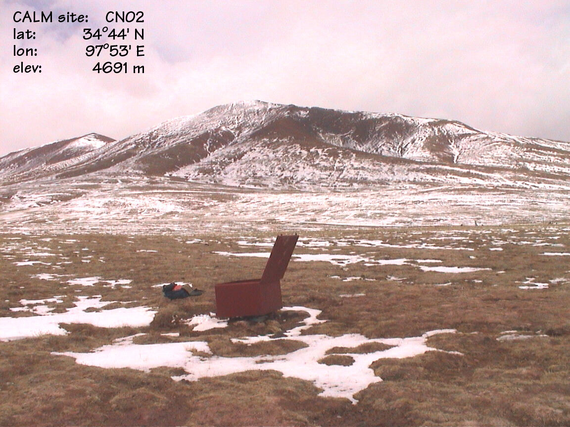
CN2 |
Fenghuo
Shan |
GGD313CN_2 |
Qinghai-Tibet Plateau |
34 deg. 44 min. N |
97 deg. 53 min. E |
4691 |
Alpine
meadow |
Kobrecia
grass cover |
Typic
Haploturbel (1) |
1998 |
1998 |
Moist |
Silt
Loam |
||||||||||
|
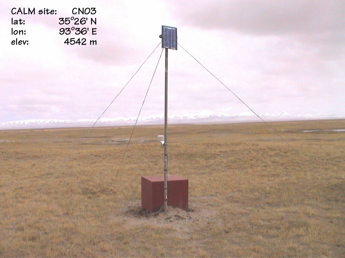
CN3 |
Ecology
Station |
GGD313CN_3 |
Qinghai-Tibet
Plateau |
35
deg. 26 min. N |
93
deg. 36 min. E |
4542 |
Alpine
steppe, sand dune over lake basin |
Stipa
grass cover |
Typic
Cryopsamment (1) |
1999 |
1999 |
Moist |
Fine
Sand |
||||||||||
|
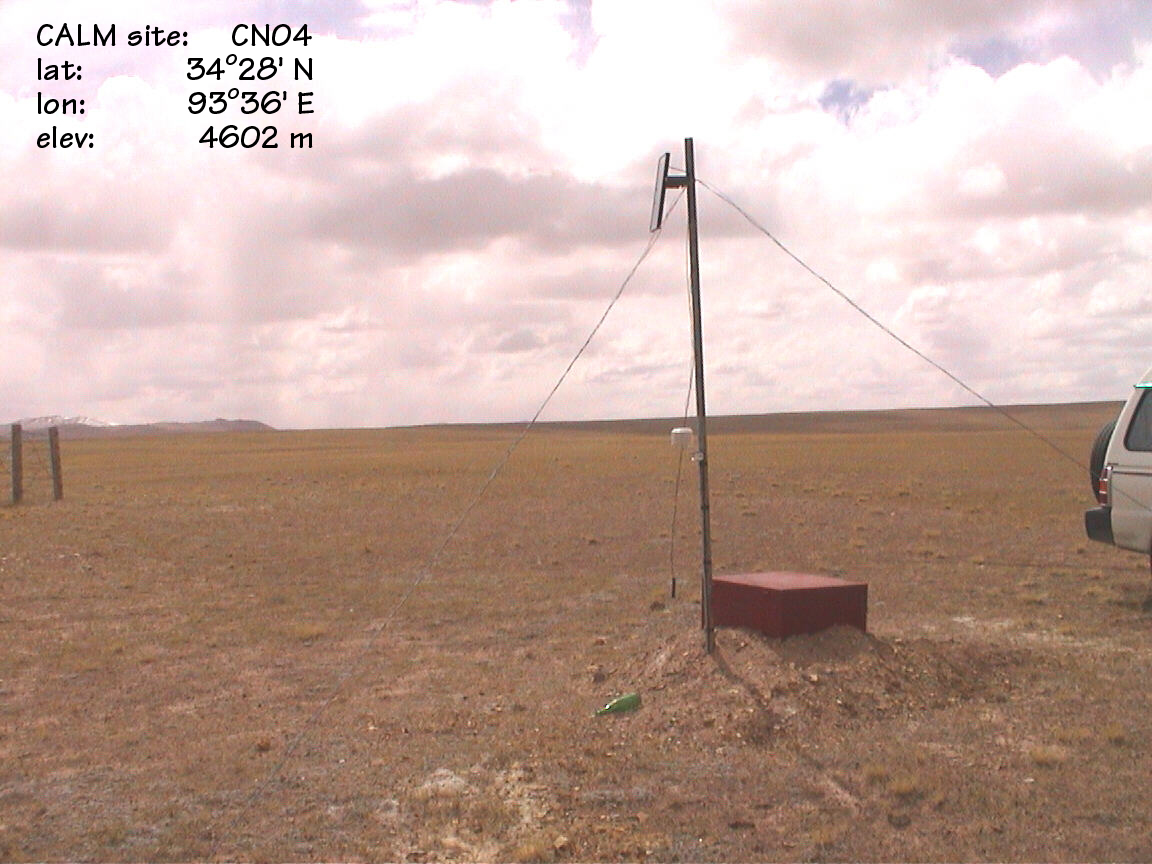
CN4 |
Wuli
|
GGD313CN_4 |
Qinghai-Tibet
Plateau |
34
deg. 28 min. N |
92
deg. 44 min. E |
4602 |
Alpine
steppe |
Stipa
grass cover |
Ustic
Palecryalf (1) |
1999 |
1999 |
Moist |
Fine
Sandy Loam |
||||||||||
|
CN5 |
Lower
Two Rivers |
GGD313CN_5 |
Qinghai-Tibet
Plateau |
31
deg. 49 min. N |
91
deg. 44 min. E |
4819 |
Alpine
meadow; frost cracked mounds |
Kobrecia
grass cover |
Fluventic
Sapristel (1) |
1999 |
1999 |
Moist/Wet |
81
cm |
Site
Picture |
|||||||||
|
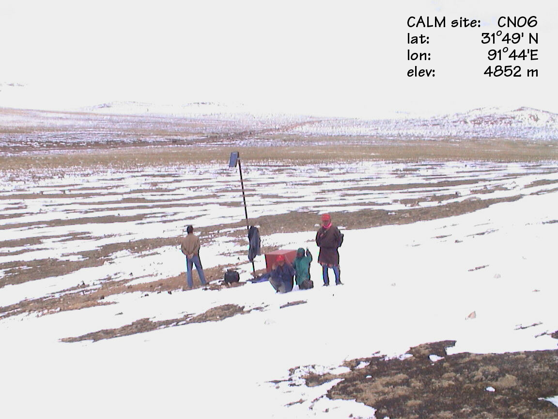
CN6 |
Upper
Two Rivers |
GGD313CN_6 |
Qinghai-Tibet
Plateau |
31
deg. 49 min. N |
91
deg. 44 min. E |
4852 |
Alpine
steppe |
Kobrecia
grass cover |
Ustic
Haplocryalf (1) |
1999 |
1999 |
Moist |
Fine
Sandy Loam |
||||||||||
|
CN7 |
Kunlun
Basin |
GGD313CN_7 |
Qinghai-Tibet
Plateau |
35
deg. 37 min. N |
94
deg. 04 min. E |
4755 |
******* |
******* |
Ustic
Eutrocryept (1) |
|
|
|
Fine
Sandy Loam |
Site
Picture |
|||||||||
|
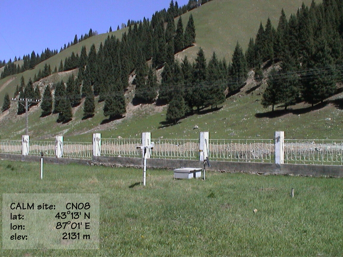
CN8 |
Glacier
Station |
GGD313CN_8 |
Tien
Shan |
43
deg. 13 min. N |
87
deg. 07 min. E |
2131 |
Outwash
terrace |
Grass |
Fluventic Calciudoll (1) |
2000 |
2000 |
Moist |
Very
Fine Sandy Loam |
||||||||||
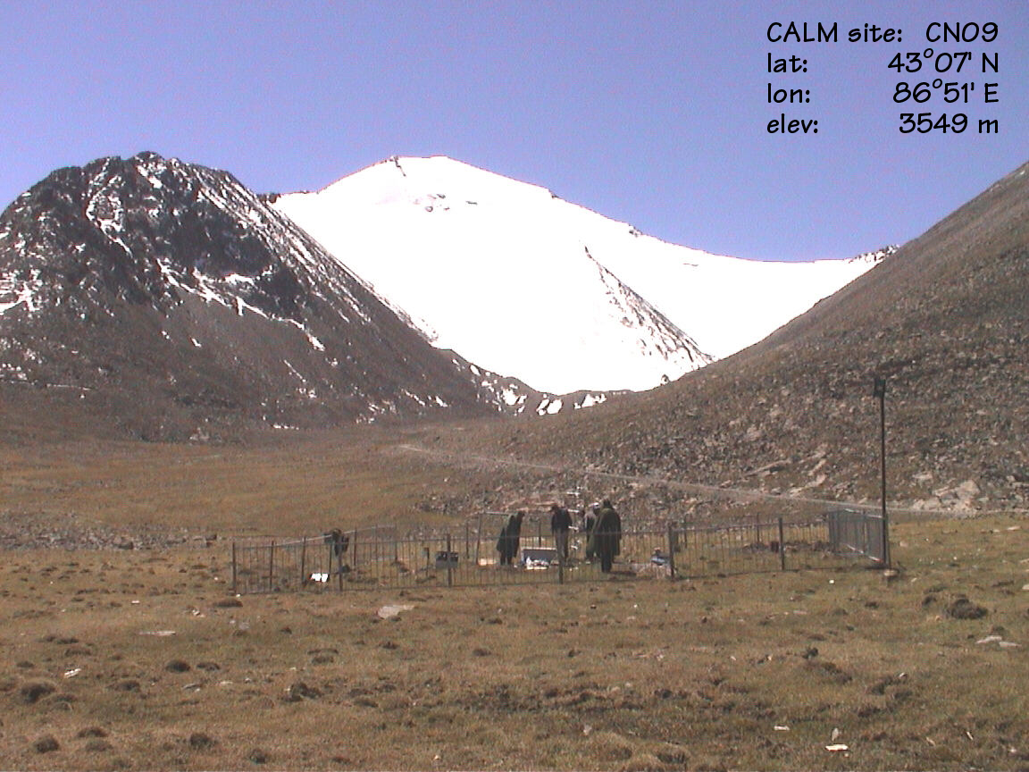
|
CN9 |
Da
Xi Gou (Glacier Station) |
GGD313CN_9 |
Tien
Shan |
43
deg. 07 min. N |
86
deg. 51 min. E |
3549 |
******* |
******* |
Ruptic-Histic
Aquiturbel (1) |
2001 |
2001 |
Moist |
|
||||||||||
|
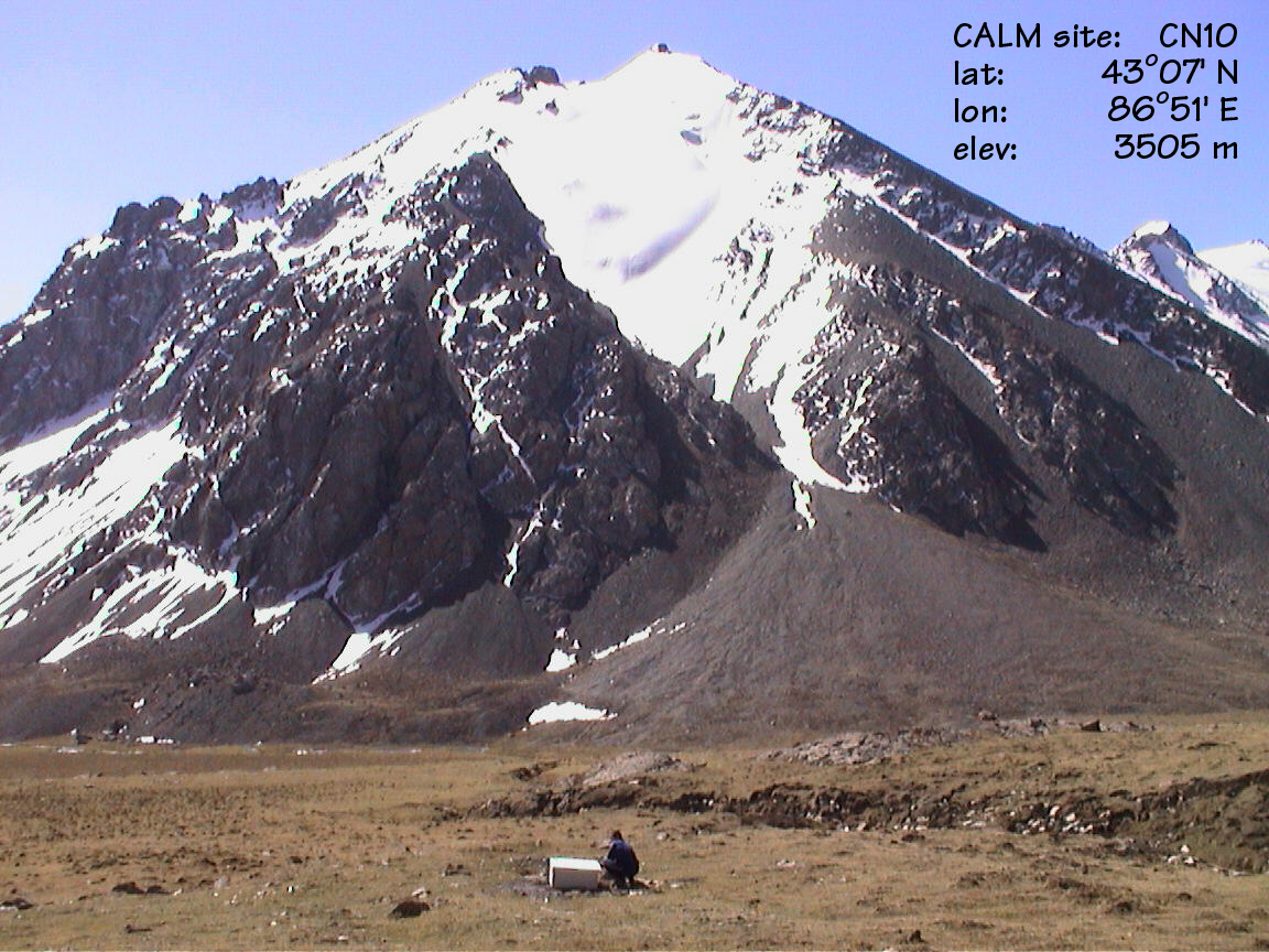
CN10 |
Deep
Borehole |
GGD313CN_10 |
Tien
Shan |
43
deg. 07 min. N |
86
deg. 51 min. E |
3505 |
Glaciated
valley |
Kobrecia
grass cover |
Typic
Aquiturbel (1) |
2001 |
|
|
|
Site
Picture |
|||||||||
|
CN11 |
Shallow
Borehole |
GGD313CN_11 |
Tien
Shan |
43
deg. 06 min. N |
86
deg. 49 min. E |
TBA |
Glaciated
valley |
Kobrecia
grass cover |
Ruptic-Histic
Aquiturbel (1) |
2001 |
|
|
|
||||||||||