|
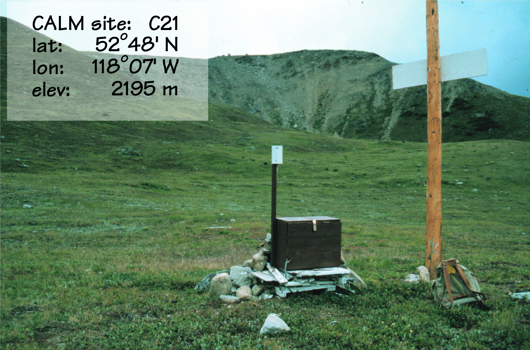
CALM SITE C21 |
MARMOT |
|
Site
code |
C21 |
|
Site
name |
Marmot
Basin #2 |
|
CAPS
I Metadata form |
GGD4 |
|
CAPS
II Metadata form |
GGD313C_21 |
|
Responsible
for data submission |
Stuart
Harris |
|
Email
Address |
harriss@acs.ucalgary.ca |
|
Institution/Organization |
University
of Calgary |
|
Location
description |
Rocky
Mts |
|
Location
Lat. |
52
deg. 48 min. N |
|
Location
Lon. |
118
deg. 07 min. W |
|
Elevation
avg. (m) |
2195 |
|
Name
code |
[41] |
|
Methods
Grid |
|
|
Methods
Other |
T/B16.8 |
|
Years
of record (a) |
24 |
|
Min
Thaw (cm)(b) |
84 |
|
Max
Thaw (cm)(b) |
talik |
|
Thawing
Degree Days (c) |
929 |
|
Landscape
Description |
Bench
below steep slope |
|
Vegetation
/Classification |
Moist
alpine meadow |
|
Soils
(or Material) |
(Loam
overlying blocks at 1m) |
|
1990 |
336* |
|
1991 |
352** |
|
1992 |
362** |
|
1993 |
220* |
|
1994 |
354** |
|
1995 |
272** |
|
1996 |
240* |
|
1997 |
192* |
|
1998 |
talik |
|
1999 |
342* |
|
2000 |
96** |
|
2001 |
152** |
|
2002 |
84** |
|
soil
temp. measurements (year started) |
1979 |
|
soil
moisture measurements (year started) |
none |
|
general
description of soil moisture (dry, moist, wet, saturated) |
|
|
soil
texture: if non organic describe texture, if organic indicate thicknesss of
organic layer (cm) |
|
|
mean
annual air temp |
2.4 |
|
mean
May air temp |
|
|
mean
June air temp |
|
|
mean
July air temp |
|
|
mean
August air temp |
|
|
mean
September air temp |
|
|
total
annual precip (mm) |
108mm
at 2000m |
|
number
of snow covered days |
|
|
surface
area of measurement (ha) |
|
|
mean
altitude (m) |
2195m |
|
min
altitude |
|
|
max
altitude (m) |
|
|
type
of major disturbance |
borehole
drilled with water |
|
date
of major disturbance |
Mar-79 |
|
additional
thaw years |
|
|
1979 |
289* |
|
1980 |
288* |
|
1981 |
393** |
|
1982 |
260* |
|
1983 |
302* |
|
1984 |
220** |
|
1985 |
186** |
|
1986 |
188** |
|
1987 |
194** |
|
1988 |
240** |
|
1989 |
246** |
|
*
+/-0.15 |
|
|
**
+/-0.10 |
Active-Layer Thickness is inferred
from ground temperature profile measurements. ALT values are presented in summary
table.
Site metadata is provided in C21_meta.doc
List of available data
Data Access
Only Summary data is available and presented in Summary
table