|
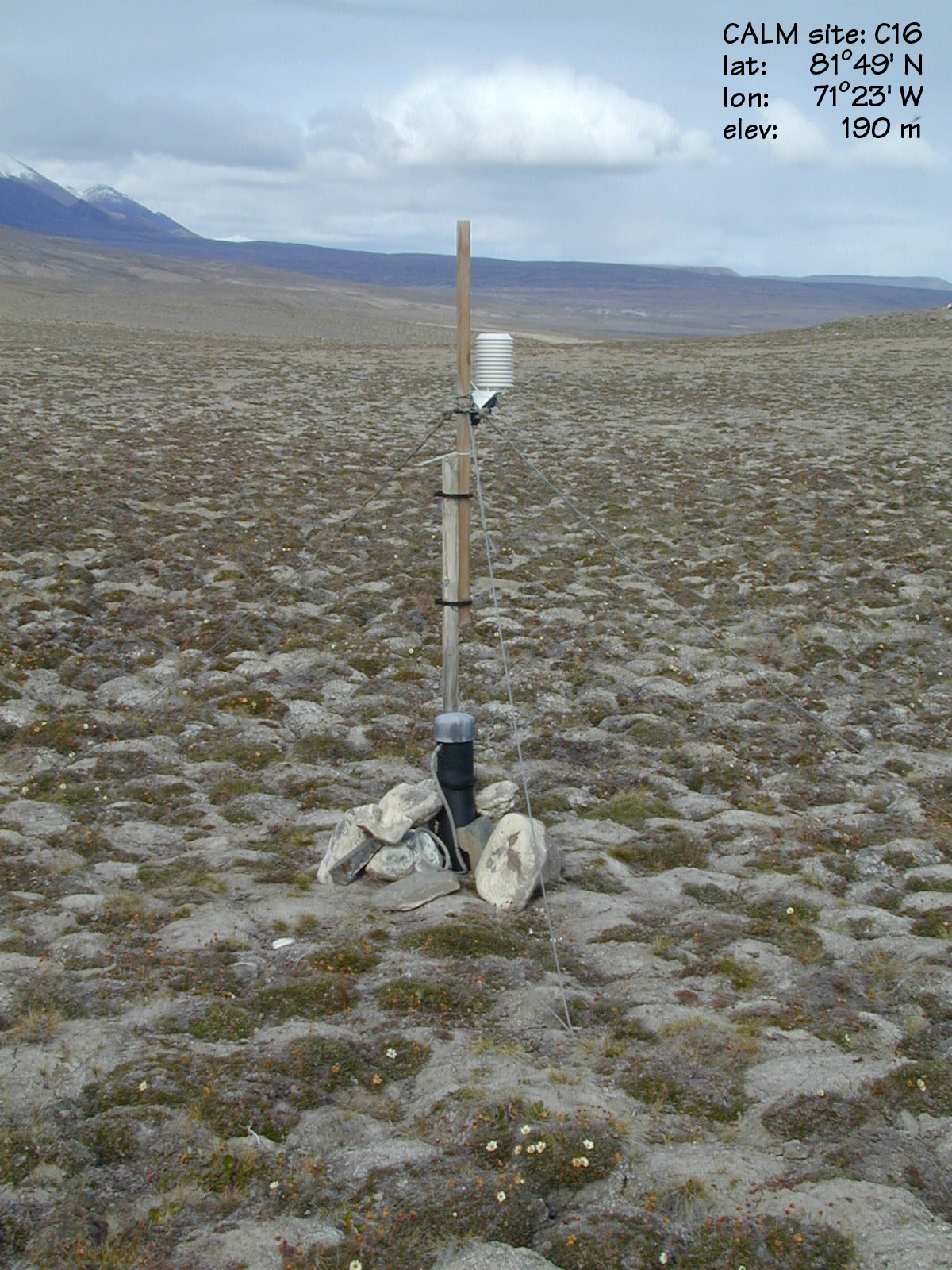
CALM SITE C16 |
LAKE HAZEN |
|
Site code |
C16 |
|
Site name |
Lake Hazen |
|
CAPS I Metadata form |
GGD312 |
|
CAPS II Metadata form |
GGD313C_16 |
|
Responsible for data submission |
Charles Tarnocai |
|
Email Address |
tarnocaict@agr.gc.ca |
|
Institution/Organization |
Agriculture and Agri-Food
Canada, Ottawa |
|
Location description |
Arctic Islands |
|
Location Lat. |
81 deg. 49 min. N |
|
Location Lon. |
71 deg. 23 min. W |
|
Elevation avg. (m) |
178 |
|
Name code |
[4] |
|
Methods Grid |
|
|
Methods Other |
T |
|
Years of record (a) |
8 |
|
Min Thaw (cm)(b) |
46 |
|
Max Thaw (cm)(b) |
52 |
|
Thawing Degree Days (c) |
144 (d) |
|
Landscape Description |
Colluvial
plain |
|
Vegetation /Classification |
Broken herb tundra |
|
Soils (or Material) |
Regosolic
Turbic Cryosol (2) |
|
soil
temp. measurements (year started) |
1994 |
|
soil moisture measurements (year started) |
|
|
general description of soil moisture (dry, moist, wet,
saturated) |
dry |
|
soil texture: if non organic describe texture, if organic
indicate thicknesss of organic layer (cm) |
sandy loam (0 cm) |
Active-Layer Thickness is inferred
from ground temperature profile measurements at 2.5, 5.0, 10.0, 20.0, 50.0,
100.0 and 150.0 cm depth. The ALT values are presented in summary table.
Site metadata is provided in C16_meta.doc